

I learned to love “contained” adventures as a kid in a military family. New town, new school, new everything. My fastest way to feel at home was to pick a small slice of the map and explore it like I belonged there. These days, I do the same thing on purpose: I grab a ZIP code area, treat it like my mini city limits for the day, and build a self-guided walking tour that feels curated instead of chaotic.
If you have ever opened a map in a new neighborhood and thought, “Where do I even start?”, this is your answer. ZIP code areas give you a clean container, a natural challenge, and a surprisingly good way to keep your route walkable.
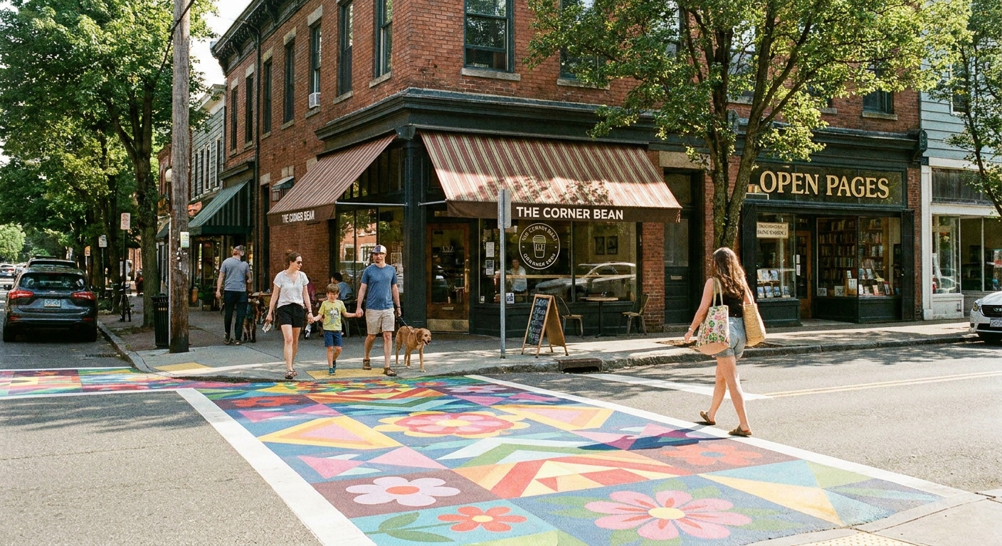
Why ZIP code boundaries work for walking tours
ZIP Codes were built for mail delivery, not sightseeing. They are USPS routing constructs, and they do not have official, always-precise polygon boundaries the way cities and neighborhoods do. Still, when you use a boundary map or a Census proxy like a ZCTA, a ZIP code area can be a really practical container for a self-guided tour.
In many places, ZIP code areas roughly line up with how people move through daily life: clusters of homes, retail strips, parks, schools, and civic buildings. In other places, they cut across things oddly. Either way, that clear outline gives you a planning box, which is the whole point.
- They create a clear finish line. You are exploring one defined area, not wandering until your feet quit.
- They help you choose depth over distance. A tighter boundary nudges you to slow down and notice details like cornices, plaques, and murals.
- They simplify planning. You can search “things to do” and “historic” within one ZIP code instead of the whole city.
- They keep the day flexible. If you love the area, you can loop again. If it is a miss, you still had a clean, contained walk.
If you are new to building micro-trips this way, start with the basics in our ZIP Code Lookup guide and then come back here to turn map lines into an actual walk.
Step 1: Pick the right ZIP code for a walk
Not all ZIP codes are created equal. Some are dense and perfect for walking. Others are basically highways, industrial parks, or big-box sprawl. Before you fall in love with a boundary shape, sanity-check it for walking.
My quick walkability filter
- Look for a street grid. Grids make route-building easy and help you avoid backtracking.
- Find at least one anchor. A main street, a central park, a waterfront path, a historic district, or a museum cluster.
- Scan for barriers. Rivers without crossings, interstates, railyards, steep hills, and dead-end subdivisions can break a walking tour.
- Check sidewalk presence. A neighborhood can be “close” but still miserable without sidewalks or safe crossings.
My favorite starter ZIP codes are the ones that include an older neighborhood core plus one commercial strip. That combo is basically a guaranteed mix of architecture, public art, and caffeine.
Step 2: Pull up ZIP boundary lines
You have a few practical options for viewing ZIP boundaries digitally. The goal is not perfection. The goal is a boundary you can see clearly enough to design a route that stays mostly inside it.
Options that work well
- Use a ZIP boundary map tool. This is the most straightforward way to see the outline you are working with. Start at My ZIP Code Map and work from your chosen ZIP.
- Use a GIS or map layer if you already love that stuff. If you are comfortable with map layers, you can use a ZIP Code Tabulation Area layer (ZCTA) as a close proxy for ZIP service areas.
Important nuance: ZIPs can be messy in real life. Boundary lines are approximations, and some ZIP Codes are assigned to PO boxes, a single organization, or other high-volume mail recipients. For walking tours, close is close enough. You are building a fun day, not delivering mail.
For background on the “what is a ZIP boundary, really?” question, the U.S. Census Bureau has a clear explainer on ZCTAs here: https://www.census.gov/programs-surveys/geography/guidance/geo-areas/zctas.html.
Step 3: Choose a start point
My rule: pick a start that solves two problems at once, parking and bathrooms. It is not glamorous, but it makes the whole tour feel smooth.
Reliable start points
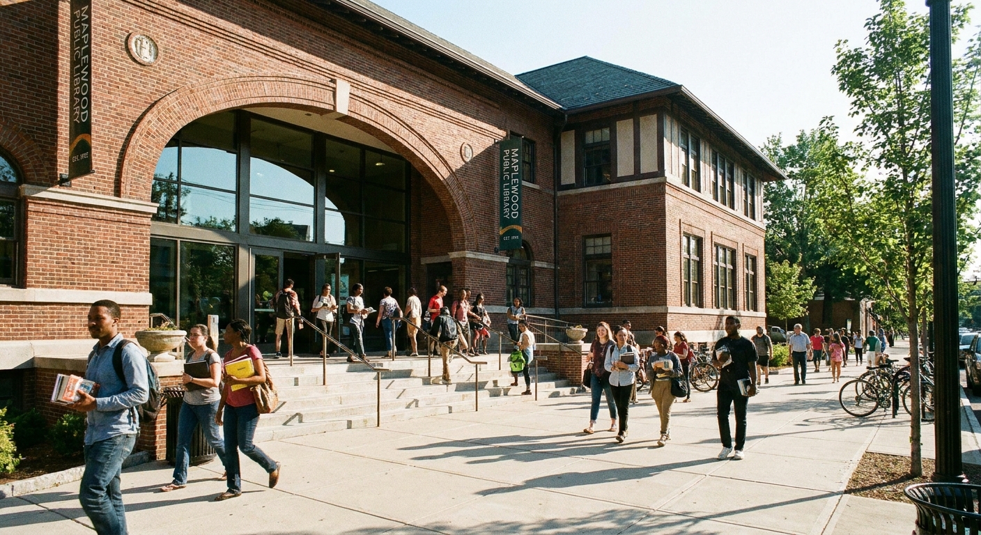
- Public library. Often central, usually has restrooms, and sometimes has local history displays.
- Big neighborhood park. Easy to orient, good for a snack break, and a natural reset point mid-tour.
- Main street coffee shop corridor. Great energy and built-in morning fuel.
- Transit station. Perfect if you want a car-free day and a clean start and end.
If you are driving, look for a spot that is legal, low-stress, and not time-limited. If your start forces you to watch the clock, your tour will feel rushed.
Step 4: Build theme stops
The secret to a walking tour that feels intentional is variety. I like to plan in three layers: architecture, art, and history. Even if one layer is thin in your chosen ZIP, the other two usually carry the day.
Architecture layer
- Older residential blocks. Look for porch styles, brickwork, carriage houses, or unusually preserved bungalows.
- Civic buildings. City halls, courthouses, post offices, and old schools are often architectural standouts.
- Adaptive reuse. Warehouses turned into markets, churches converted into performance spaces, former factories now studios.
Street art layer
- Alleyways near restaurants. Murals and paste-ups love back-of-house walls.
- Underpasses and bridge abutments. Sometimes officially commissioned, sometimes unofficial, always interesting.
- Arts districts and studio clusters. If the ZIP includes one, you are set.
If you want an organized way to locate murals, the Street Art Cities map can be useful in some towns: https://streetartcities.com.
History layer
- Historic markers and plaques. Build your route around them like little breadcrumbs.
- Neighborhood cemeteries. Quiet, reflective, and often packed with local history.
- Old commercial corridors. Even if the businesses have changed, the bones often tell the story.
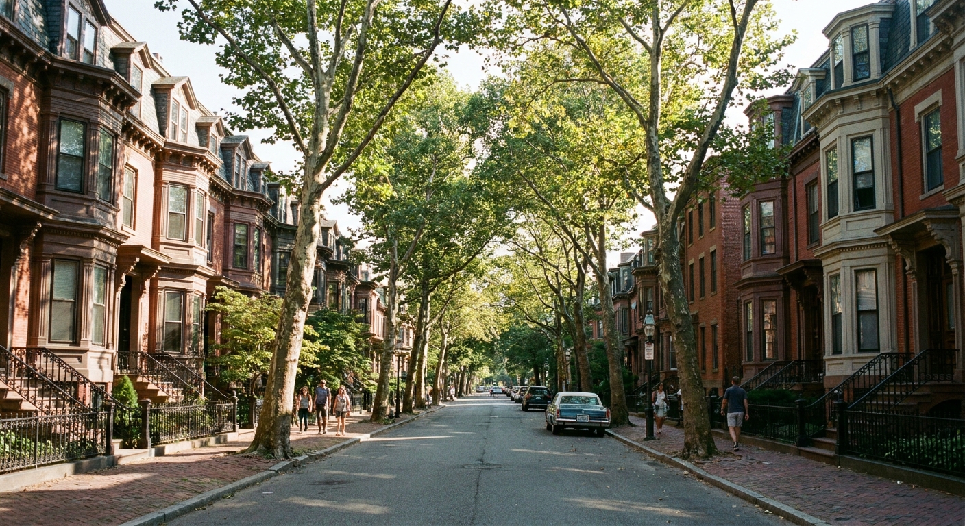
Step 5: Turn stops into a route
Once you have your stops, connect them with a route that is realistic on foot. The trick is to design for comfort, not just distance.
My route-building method
- Drop pins for 8 to 12 maybe stops. More than you need, on purpose.
- Cluster them into 2 to 3 mini-zones. For example: Main Street, historic homes, waterfront.
- Create a loop, not an out-and-back. Loops feel like progress and cut down on boredom.
- Add one mid-route rest stop. Park bench zone, cafe, or shady plaza.
- Trim to 5 to 7 must stops. Leave room for surprise finds.
Distances I find comfortable
- About 90 minutes: I plan on roughly 1.5 to 2.5 miles with lots of stops
- Half day: Around 3 to 5 miles, depending on heat and hills
- Full day with lingering: 5 to 8 miles if I am truly in wandering mode
A practical note: ZIP boundaries do not always respect the most pleasant walking corridors. If the safest sidewalk or prettiest street cuts outside the boundary for two blocks, take it. The boundary is your planning tool, not your ankle monitor.
Step 6: Add a food spine
I am convinced food is the best pacing tool. A good walking tour has natural breaks, and nothing resets your mood like a diner booth or a bakery counter.
A simple plan that works
- Coffee within the first 15 minutes. It helps you settle in and people-watch.
- Lunch near the midpoint. Ideally close to a park or plaza so you can choose sit-down or picnic.
- One treat stop. Ice cream, a local soda fountain, a pan dulce shop, anything that feels like a story.
For more ideas on turning one small area into a full itinerary, I keep my broader day-structure tips in Plan a Local Day Out Beyond a ZIP Code.
Step 7: Do a quick check
Nothing kills the vibe faster than realizing mid-walk that there is no shade, no water, and the only crossing is a four-lane sprint. Five minutes of prep fixes most of that.
- Crossings: Choose intersections with signals where possible.
- Sidewalks: If a stretch looks shoulder-only, reroute.
- Heat and shade: On hot days, plan parks and tree-lined streets for midday.
- Restrooms: Libraries, parks with facilities, cafes, and museums are your friends.
- Hours: Check opening times for museums, cafes, and markets so you are not staring at a locked door.
- Offline backup: If service is spotty, I screenshot my map and my key stops before I go.
- Timing: If you want street art photos, aim for morning or late afternoon light.
If you are exploring solo, I like to keep my route as a loop close to active streets, and I avoid mystery shortcuts through empty lots or isolated underpasses.
Accessibility and mobility notes
If you are planning around mobility needs, strollers, or just an ankle that likes to complain, you can still do a ZIP code walking tour. You just plan it like a comfort-first loop.
- Watch the grade. Hills can turn a “short” route into a long day. I pick flatter corridors when I can.
- Check surfaces. Brick sidewalks, gravel paths, and broken pavement are charming until they are not.
- Look for curb cuts. Older areas are hit-or-miss, especially around historic blocks.
- Shorten the loop on purpose. Build a tight core loop near your start point, then add optional spurs you can skip without losing the plot.
- Use transit as a helper. A one-way walk with a bus or train back still counts as a great tour.
A sample ZIP walking tour
Here is a plug-and-play structure I use all the time. You can apply it to almost any walkable ZIP.
- Start: Library or main street cafe (bathroom, coffee)
- Stretch 1: Historic homes and architecture details (45 minutes)
- Stop: Park bench break or small museum (15 to 30 minutes)
- Stretch 2: Mural corridor or alley art hunt (45 minutes)
- Lunch: Local spot with quick service (45 to 75 minutes)
- Stretch 3: Civic buildings, plaques, and the oldest-looking block (45 minutes)
- Finish: Treat stop near your start point (ice cream counts as navigation)
Common snags
The ZIP code is too big
Pick a sub-area within the boundary and treat that as your tour zone. I like to draw an informal square or triangle using three anchors: a park, a main street strip, and one historic landmark.
The ZIP code is mostly residential
Perfect for architecture, but add a single destination stop to keep it feeling special: a local bakery, a neighborhood garden, or a small museum just outside the boundary if needed.
The boundary cuts through something unwalkable
Highways and industrial zones happen. Build your loop on one side and use the boundary as a planning reference, not a hard constraint.
My stops are too spread out
Zoom in and choose fewer stops with more depth. A self-guided tour is better when you spend five minutes noticing a building facade than when you speed-walk past everything to make it to stop number nine.
FAQ
Do ZIP code boundaries match neighborhoods?
Sometimes, but not reliably. A ZIP code can include multiple neighborhoods, or a single neighborhood can span multiple ZIPs. The boundary is best used as a container for planning, not a cultural definition.
Is it okay if my route crosses out of the ZIP code?
Yes. I aim for mostly inside, then I choose the safest and most pleasant walking streets even if that means popping out briefly.
How many stops should I plan?
For a half-day tour, I plan 5 to 7 must-see stops and keep 2 to 5 bonus pins in my pocket. That gives you structure without turning your walk into a checklist.
One last tip from a lifelong new kid
If you want to feel like a local fast, walk a ZIP code like it is your assignment for the day. Notice porch signs, corner stores, the way the trees change from block to block, and the tiny details nobody photographs. Those are the things that make a neighborhood memorable.
If you want to explore more ways to build small adventures out of everyday map lines, browse the rest of our ZIP Code Lookup guides.