

I grew up in a military family, which means I learned how to land in a new place and find “our spot” fast. As an adult, I still do it, except now my spot is usually a western-facing overlook with a snack bag on my lap and a phone alarm labeled “golden hour, go now.”
The trick is not luck. It is timing plus terrain. If you can line up drive time, topography, and a clean view of the horizon, you can build an evening road trip from almost any zip code that ends exactly when the sky turns cinematic.
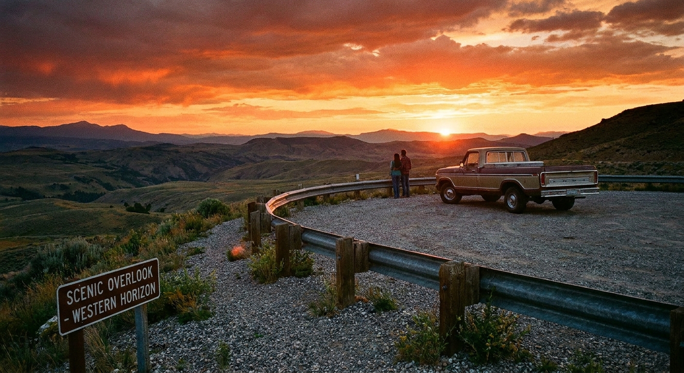
Start with sunset time
Everything in this plan points to one target: the moment the sun hits the horizon. Start by pulling your local sunset time for the day you are going. Most weather apps show it, or you can look it up by your nearest city.
My timing rule of thumb
- Arrive 20 to 30 minutes before sunset so you can park, walk to the view, and settle in.
- Golden hour shifts by season and latitude, but for planning I assume it starts about 45 to 75 minutes before sunset. (My personal default is “one hour before.”)
- Stay 15 to 25 minutes after sunset for the afterglow. The best pinks and purples often show up after the sun is gone, but clouds and haze get the final vote.
So if sunset is 8:12 pm, I plan to be parked by 7:45 pm and I plan to drive out after about 8:35 pm.
Pick the final stop first
If you decide on dinner first and the overlook second, you will end up watching the sun set behind a gas station canopy. Choose the viewpoint first, then build the route backward.
On My ZIP Code Map, I usually begin with a zip code and then hunt for scenic stops inside it or near its edge. If you want a quick way to generate candidates, start here: Find Scenic Overlooks by ZIP Code.
What “western-facing” means
- Open horizon to the west: ocean, desert, prairie, big lake, wide valley.
- Elevation with a drop: a ridge, bluff, mesa, hilltop park, or lookout tower.
- Not blocked up close: trees right at the edge, nearby buildings, or a taller ridge immediately west of you.
Check the terrain
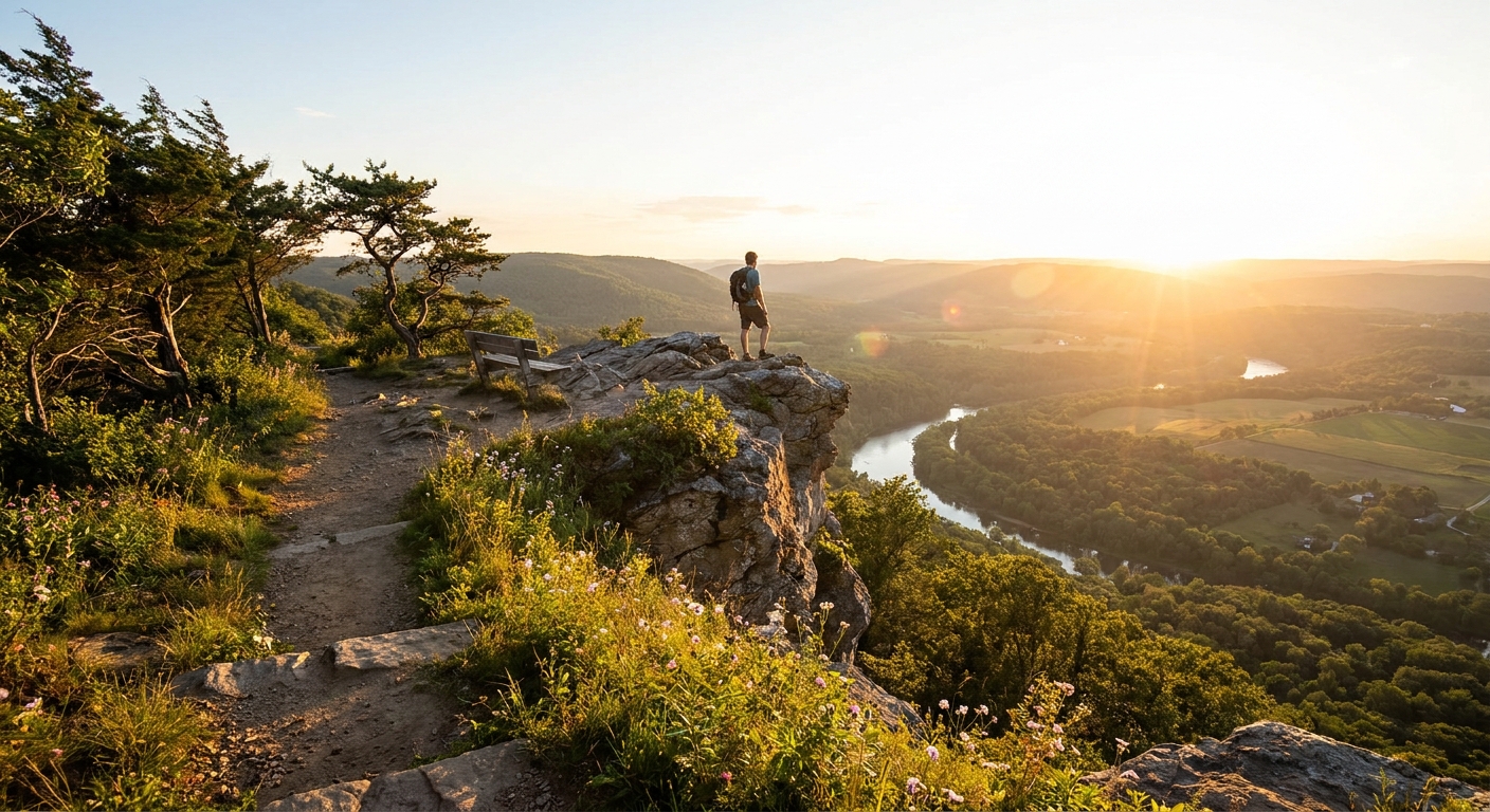
Topography is the difference between “wow” and “why is the sun behind that one random ridge.” You do not need to be a cartographer. You just need two checks: height and what is directly west of your pin.
Two quick checks that save the trip
- Elevation check: Higher is usually better, but only if the land falls away to the west. A tall hill with a taller hill to the west is a sunset trap.
- Horizon check: Zoom out and look for uninterrupted space west of the overlook. Coastlines and big lakes are easy mode. Mountain basins can be stunning, but you are aiming for a notch or a clean gap.
If you want to get precise
Use an online sun path tool to confirm the sun’s direction for your date and time, especially in winter when the sun sets more southwest across most of the continental U.S. One reliable option is SunCalc: https://www.suncalc.org/.
Build the route backward
Here is my repeatable method. I do it the same way whether I am in a brand-new town or 20 minutes from home.
Step-by-step sunset route math
- Choose your viewpoint and save it as your final stop.
- Set your arrival deadline: sunset minus 20 to 30 minutes.
- Estimate walking time from parking to the actual view. Add it to your deadline. If the overlook is a 12-minute walk, your “park by” time becomes sunset minus 32 to 42 minutes.
- Get drive time for the time you will actually be driving (rush hour matters). Add a cushion.
- Place one pre-sunset stop that cannot derail the timeline: a coffee, a quick takeout order, or an optional scenic pull-off.
My drive-time cushions
- Under 25 minutes of driving: add 10 minutes.
- 25 to 60 minutes: add 15 to 20 minutes.
- Over 60 minutes: add 25 minutes plus a bailout viewpoint closer to home.
If you like building days around radius-based trips instead of destinations, the same idea works with a tighter boundary. Start with: How to Plan a 5-Mile Radius Day Trip From Any ZIP Code, then make your sunset overlook the anchor point for the last hour.
Route design tips
Not all roads feel the same at 7:30 pm. I want a route that is pretty, predictable, and forgiving if I get stuck behind a tractor.
Sunset-friendly route patterns
- Out on backroads, home on highways: you arrive calmer, and you get home faster in the dark.
- One main road plus parallel alternatives: if traffic snarls, you can slide over without rerouting chaos.
- Last 10 minutes on a ridge road: bonus points if it runs north to south so you are not driving into the sun.
Golden hour safety notes
- Avoid surprise-darkness roads with no shoulders if you will be driving back after twilight.
- Do not count on cell service at overlooks and ridge lines. Screenshot directions or download offline maps.
- Pick legal pull-offs. If the “overlook” is really a narrow shoulder on a curve, I keep searching.
If you are craving routes that intentionally avoid big highways, I have a whole approach for that too: The No-Highway Rule: Backroads Only Road Trips.
Choose the right viewpoint
Every region has its own version of a perfect sunset perch. Here are the patterns I look for when I am building a trip from a random zip code.
Easy wins by landscape type
- Coastal: true west-facing beaches and bluffs are less common on much of the East Coast. If your coastline faces east, look for west-facing bays, inlets, sounds, and riverfront overlooks to catch reflected light and layered color.
- Mountain West: prioritize a lookout with a clear gap to the west, not just “highest elevation.” Valleys can swallow the sun early.
- Great Plains and desert: hunt for small rises, buttes, reservoirs, and wildlife refuges. A little elevation goes a long way when the horizon is wide.
- Urban and suburban: rooftops, hilltop parks, bridges with pedestrian access, and public garages can be surprisingly good. I only count a school stadium if it is clearly public, explicitly open, and you can access it without hopping a fence or guessing.
Watch the weather
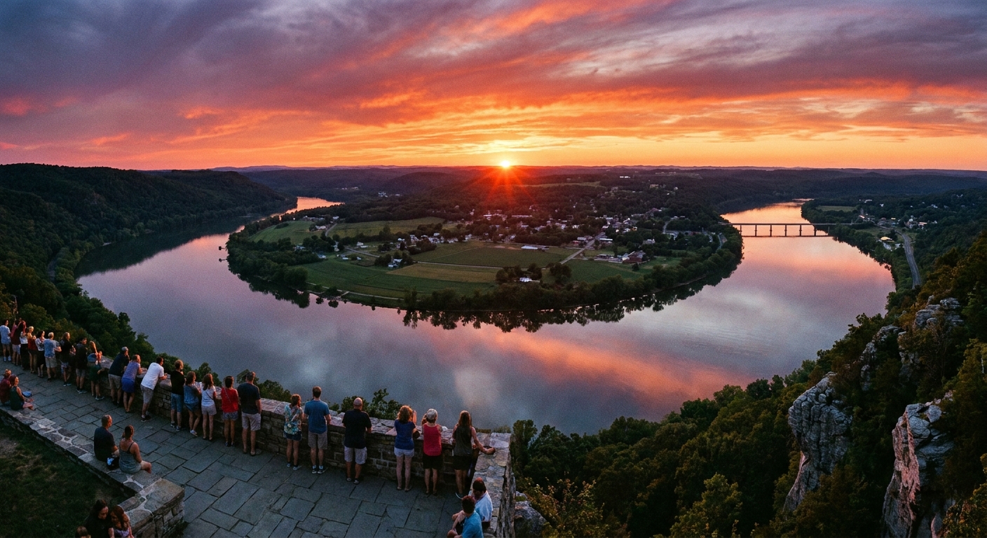
My best sunsets are rarely on perfectly clear days. If I am choosing between two evenings, I look at what the sky is doing at sunset time, not what it is doing at lunchtime.
- Scattered to broken clouds often delivers the biggest color because the undersides catch light.
- Solid overcast can flatten the whole show. Sometimes you still get a bright band near the horizon, but I do not count on it.
- Haze, wildfire smoke, and humidity can soften color and reduce visibility. Occasionally haze creates a moody, coppery glow, but it can also hide the horizon entirely.
- Wind at overlooks is real. Even on a warm day, the last 20 minutes can feel colder than you think.
If you like pairing weather with planning by area, this helps too: Match Hyper-Local Weather to ZIP Codes.
Add one food stop
I love a mom-and-pop dinner as much as anyone, but for sunset chasing I keep food flexible. I would rather eat tacos on a blanket than miss the sky because the kitchen got slammed.
My low-drama sunset meal plan
- Pick takeout over table service in the final 90 minutes before sunset.
- Choose fast, reliable foods: sandwiches, burritos, fried chicken, pizza by the slice, bakeries, or a grocery deli.
- Bring a micro picnic kit: napkins, wet wipes, and a small trash bag.
If you want a systematic way to find those reliable local spots by area, this pairs nicely with: Find Hidden Gem Restaurants With a ZIP Code.
A sample timeline
Let’s pretend sunset is at 7:58 pm and your overlook requires a short walk. Here is the cadence I aim for. Adjust the minutes, keep the structure.
Quick note: the drive blocks below are placeholders. Your real numbers depend on distance, parking, and how long the walk is from the lot to the view.
| Time | What you are doing | Why it works |
|---|---|---|
| 5:45 pm | Leave home | Buffers for commuter traffic and a quick errand stop |
| 6:30 pm | Grab takeout or snacks | You are fed without risking a long sit-down meal |
| 7:10 pm | Arrive at overlook parking | Gives you time to walk and choose the best angle |
| 7:25 pm | Settle in, photos, snack | Golden hour starts to glow without you rushing |
| 7:58 pm | Sunset | You are ready, not still driving |
| 8:15 pm | Afterglow | Often the best color happens now |
| 8:30 pm | Drive home | You beat the truly late-night fatigue |
Access and legality checks
I am all for a spontaneous detour, but I am not interested in a sunset that ends with a locked gate or an awkward “are we allowed to be here?” moment. Before I commit, I do a quick reality check.
- Park hours and gate times: some parks close at sunset, not after. If you are unsure, choose a viewpoint with clearly posted dusk access.
- Parking rules: watch for permit-only lots, resident-only streets, and no-parking shoulders near curves.
- Private roads and driveways: a perfect map pin is useless if it is behind a “no trespassing” sign.
- Trail and viewpoint access: confirm the walk is on an open trail and not a scramble onto fenced rock.
- Accessibility needs: if you want a no-walk sunset, look for paved viewpoints, short loops, or designated scenic pull-offs.
Common mistakes
Mistake: trusting the map drive time
Fix: check drive time for your actual departure window, not midday. Rush hour plus a single accident can eat the entire golden hour.
Mistake: choosing a pretty spot that faces the wrong direction
Fix: confirm the viewpoint’s open western horizon. If the view is gorgeous but faces east, save it for sunrise.
Mistake: arriving somewhere closed at dusk
Fix: verify hours. When I am unsure, I pick public overlooks, well-known scenic pull-offs, or parks with posted hours that clearly allow dusk access.
Mistake: forgetting the temperature drop
Fix: pack layers and bug spray in the car. Golden hour is friendly, twilight can get cold fast near water or at elevation.
Quick checklist
- Sunset time and your park-by deadline
- Directions saved for low service areas
- Backup overlook closer to home (even a hilltop park works)
- Headlamp or phone flashlight for the walk back
- Water, snacks, and a small trash bag
- Layer and windbreaker, even in summer
One zip code, full mini-trip
Sunset is an amazing final act, but I often turn it into an entire micro-trip. I will pick one zip code, do one quirky stop, one local bite, one short walk, then end at the overlook. If that sounds like your style, start with Plan a Local Day Out Beyond a ZIP Code and then plug the sunset plan into the last 90 minutes.
Once you do this a couple times, you will start seeing your region differently. Not as places you already know, but as little squares on the map with their own best hour of the day.