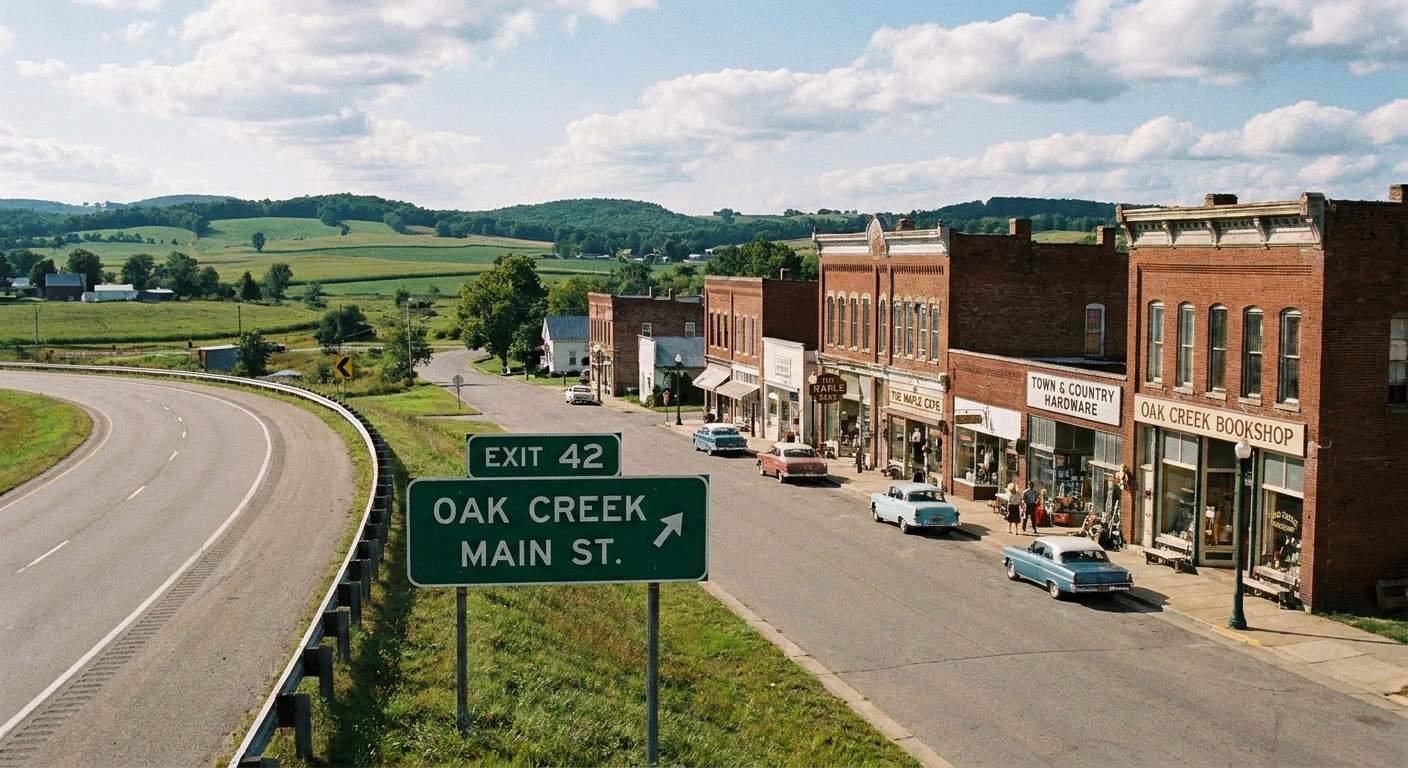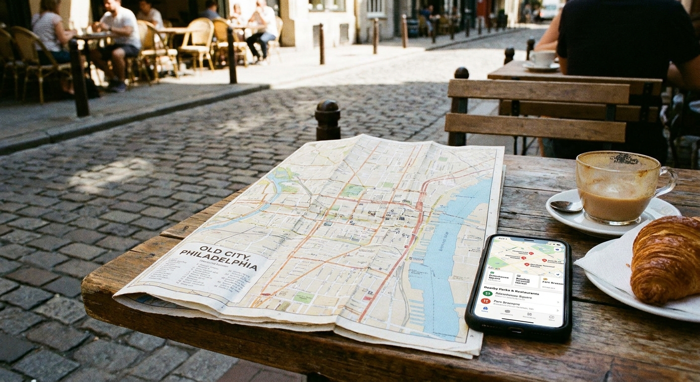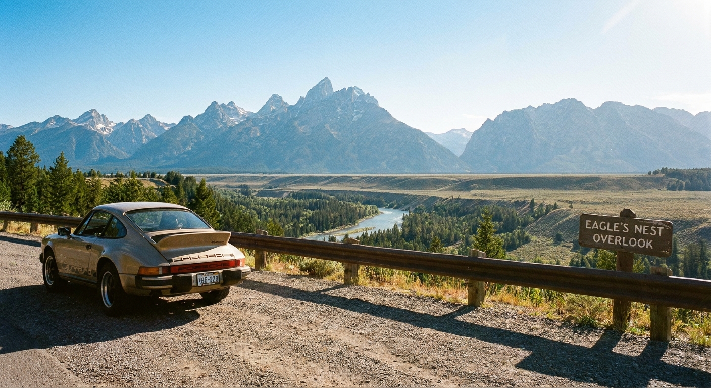

I grew up in a military family, which meant I learned the fastest route everywhere… and then immediately started hunting for the better route. The one with the pie shop you would never notice from an interstate. The one where you crest a hill and suddenly there is a river, a covered bridge, or a tiny downtown that looks like a movie set.
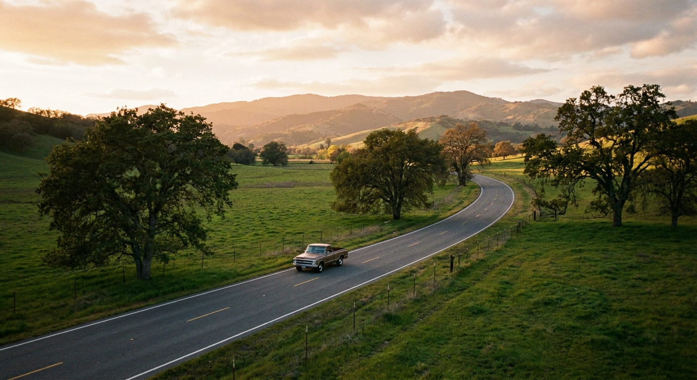
That is the heart of the No-Highway Rule: for one day, you are not allowed to take the interstate. You are building a road trip on county roads, state routes, farm lanes, and the kind of main streets where you can actually stop on a whim. Here is exactly how I map it, using digital maps without letting them bully me back onto the highway.
Start with the right destination
Backroads-only works best when your goal is a region, not a single must-see attraction with one parking lot. I pick one of these as my anchor:
- A single zip code town (great for slower days and lots of “oh look at that” stops). If you like that vibe, you will probably enjoy The Single-ZIP-Code Town Day Trip.
- A scenic feature like overlooks, river roads, or a lake loop. This pairs perfectly with finding scenic overlooks by zip code.
- A food mission where the driving is part of the appetizer. I do this when I want diners, bakeries, and mom-and-pop counters. (My method is in Find Hidden Gem Restaurants With a ZIP Code.)
If you are unsure where to begin, choose a zip code first and build outward. My easiest planning approach is the radius method in How to Plan a 5-Mile Radius Day Trip From Any ZIP Code.
Set your ground rules
Before you touch any settings, decide what “no-highway” means for you. Otherwise, your phone will find loopholes.
- My default rule (U.S.): No interstates and no other limited-access, ramp-only roads. That is what I mean by “highways” in this piece.
- Hard add-on: Avoid toll roads too.
- Soft rule (optional): Avoid four-lane divided highways as well. These can feel like interstates with better scenery.
- Time reality check: Backroads add time. I plan for a slower average speed and I build in extra stops so I am not tempted to “just hop on I-whatever.”
My personal sweet spot for a day trip is 120 to 200 miles total if I am avoiding highways, depending on how stop-happy I feel.
Quick safety note: Part of the No-Highway Rule is keeping it stress-free. I avoid roads labeled “minimum maintenance” (common in some states), respect private-road signs, and assume some rural bridges and mountain roads can have seasonal closures or weight limits. Also, if you want a photo, pull fully into a turnout or lot. Shoulders are not picnic tables.
Google Maps: avoid highways
Option A: Avoid highways on one route
- Enter your start and end points.
- Tap Directions.
- Open the menu (often the three dots) and look for Route options or Options, depending on your device.
- Toggle Avoid highways. Consider toggling Avoid tolls too.
- Preview the route line and zoom in to make sure it is truly using local roads.
Option B: Lock in backroads with stops
When I want the app to stop “helping,” I give it a few breadcrumbs. The idea is simple: add intermediate stops that force the route onto the corridor you actually want.
- Add 2 to 5 intermediate stops along the scenic roads you prefer.
- Choose stops that are easy to find in Maps: parks, town halls, well-known cafés, trailheads, historic sites.
- Reorder stops until the route line follows the roads you want.
My “don’t get rerouted” trick
Once you start driving, apps sometimes try to save 6 minutes by rerouting you onto a highway entrance. If you see that happening, pull off safely and add a quick stop in a small town along your preferred road, then resume navigation. One added stop can snap the whole day back onto the slow-lane life.
Apple Maps: stay off fast roads
Apple Maps is very good at making you efficient. You can still win, but you have to be firm and a little flexible, because Apple moves settings around between iOS versions and regions.
- On iPhone, look in Settings for Maps (sometimes under Apps), then check Driving or routing preferences. If you see options like Avoid Highways or Avoid Tolls, toggle what matches your rule.
- When planning a route, compare alternates and pick the one that clearly uses state routes and county roads.
- Use the same breadcrumb strategy: add a couple of intermediate stops in small towns to keep the route from drifting back to faster roads.
If the exact wording is different on your phone, search within Settings for “Maps” and “avoid.” The spirit is the same even when the labels change.
Waze: use guardrails
Waze loves speed. If you are doing the No-Highway Rule, I treat Waze as a traffic tool, not a trip planner.
- Depending on your country and app version, you may see route preferences like Avoid freeways, Avoid highways, or Avoid toll roads.
- Even with those toggles on, I still plan my backroads corridor in advance (even if it is just a note with my key towns), then use Waze for live alerts while I follow my intended path.
- If Waze keeps pulling you toward faster roads, switch to Google or Apple for this one day. No shame.
Offline maps: a real backup
Backroads and dead zones go together like coffee and sunrise. Before you leave, I do two things:
- Screenshot insurance: I screenshot my route overview and my stop list, including the next town name or two.
- Offline area backup: If your map app offers offline areas in your version, download the region you are driving through while you are still on Wi-Fi. I do not need turn-by-turn perfection offline, I just want a working map when the signal disappears.
Build a full day (5 stops)
I like an itinerary with a clear rhythm, so the day feels intentional instead of random. Here is my repeatable structure.
Stop 1: A launch point
Pick a spot 20 to 45 minutes from home where you can fuel up, grab coffee, and settle in. I look for a small downtown with public lots, or a park with a big entrance lot.
Stop 2: A scenery magnet
This is where backroads shine. I love a river road, a ridge route, or a wildlife area. If you need ideas, start with scenic overlooks by zip code, then connect them with county roads.
Stop 3: Lunch in a town you did not plan to love
My rule: lunch should be in a place where you can park once and walk for 20 minutes. Even if it is just one main street, that is enough for a micro adventure. For food scouting ideas, I use the approach in Find Hidden Gem Restaurants With a ZIP Code.
Stop 4: A quirky or historic detour
This is where you earn your stories. Think: a local museum, a historical marker cluster, a courthouse square, a tiny cemetery with fascinating dates, or a roadside oddity.
If you like the history angle, plan this stop using Find Historical Markers by ZIP Code.
Stop 5: A golden-hour landing
End at something calm: a lakeside pull-off, a park overlook, a short loop trail, or even an ice cream stand with picnic tables. This is also my phone-battery insurance stop, because I want an easy final destination when I am tired.
Routing tricks that help
Use towns as breadcrumbs
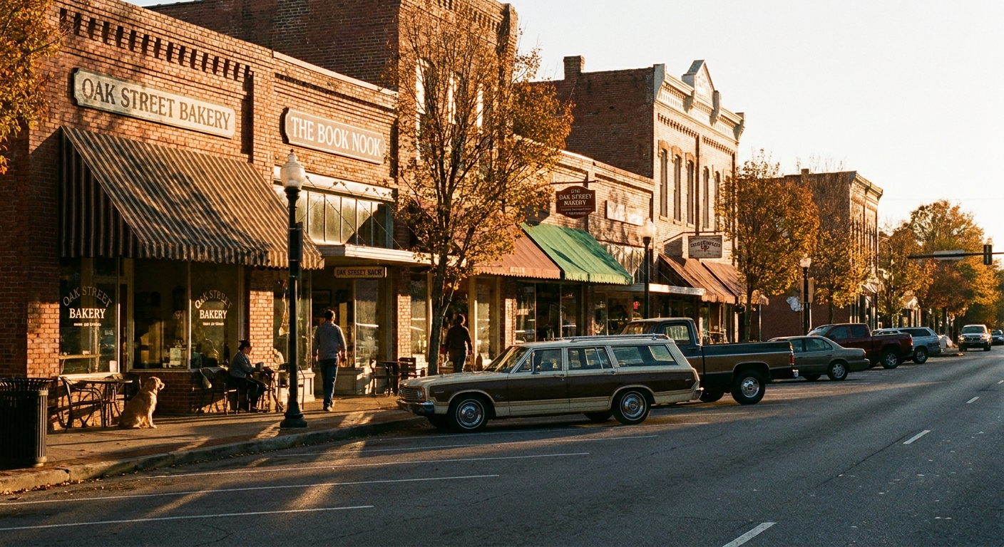
Instead of navigating to one faraway address, I navigate town-to-town: “Coffee in Town A, lunch in Town B, sunset near Town C.” It keeps you on human-scale roads and gives you natural spots to reset the route.
Choose the right backroads
County roads can be gorgeous, but they can also be narrow, unlit, and muddy after storms. If weather looks questionable, I keep the spirit of the No-Highway Rule but lean toward numbered state routes and well-traveled county roads.
Zoom in before you commit
On the overview screen, everything looks fine. Zoom in and look for clues you are accidentally getting a highway-style road:
- Long stretches with no intersections
- Big cloverleaf interchanges
- Entrance ramps and frontage roads
Do a fuel and bathrooms scan
Backroads can mean long gaps between services. I aim to top off fuel when I hit the halfway point of my comfortable range, not when the light comes on. Same for bathrooms: I use the last clean one before a long scenic stretch.
A sample day plan
You can plug this into almost any region by swapping in your own towns and stops.
- 9:00 AM: Launch-point coffee in a nearby small downtown.
- 10:30 AM: Scenic road segment with one planned photo pull-off.
- 12:00 PM: Lunch in a walkable town center, then a 20-minute stroll.
- 2:00 PM: Historic detour, marker loop, or local museum.
- 3:30 PM: Bonus stop that you pick in the moment (farm stand, bakery, antique shop).
- 5:00 PM: Golden-hour park, overlook, or lakeside loop.
- 6:30 PM: Dinner closer to home, still off the interstate if you can swing it.
If you want a planning style that is zip-code-forward, start with our Road Trips guide and then layer in your No-Highway rule from there.
What to pack
- Offline backup: Screenshots of the route overview and your stop list. Signal can get spotty.
- Car basics: Phone charger, tire gauge, windshield wipes.
- Snacks and water: Not glamorous, but it buys you freedom to ignore the first gas station cafe you do not like.
- Cash or card flexibility: Some small spots are cash-only, some are card-only, and sometimes the internet is having a day.
- A light layer: Temperatures change fast near water and in higher elevations.
Common problems
“My map keeps rerouting me to the interstate.”
Add an intermediate stop in a small town along the road you want, then continue. Multi-stop routing is harder for the app to optimize away.
“The backroads route is taking me down sketchy roads.”
Adjust your rule: avoid interstates and limited-access roads, but stick to numbered state routes and well-traveled county roads. Backroads-only does not have to mean unpaved, unlit, or uncomfortable.
“Everything I want to see is near the highway.”
Use the highway-adjacent attraction as a nearby reference point, but pick your actual stops one or two towns over. Often the best finds live in the peripheral zip codes. If that idea clicks, you will love Festival Day Escapes by Peripheral ZIP Code.
My favorite part
It is not that backroads are always prettier. It is that they are interruptible. You can stop. You can pivot. You can decide that the hand-painted sign for homemade jam is the real destination.
And if you want to build these days around zip codes on purpose, start with Plan a Local Day Out Beyond a ZIP Code and let the smaller roads do the storytelling.