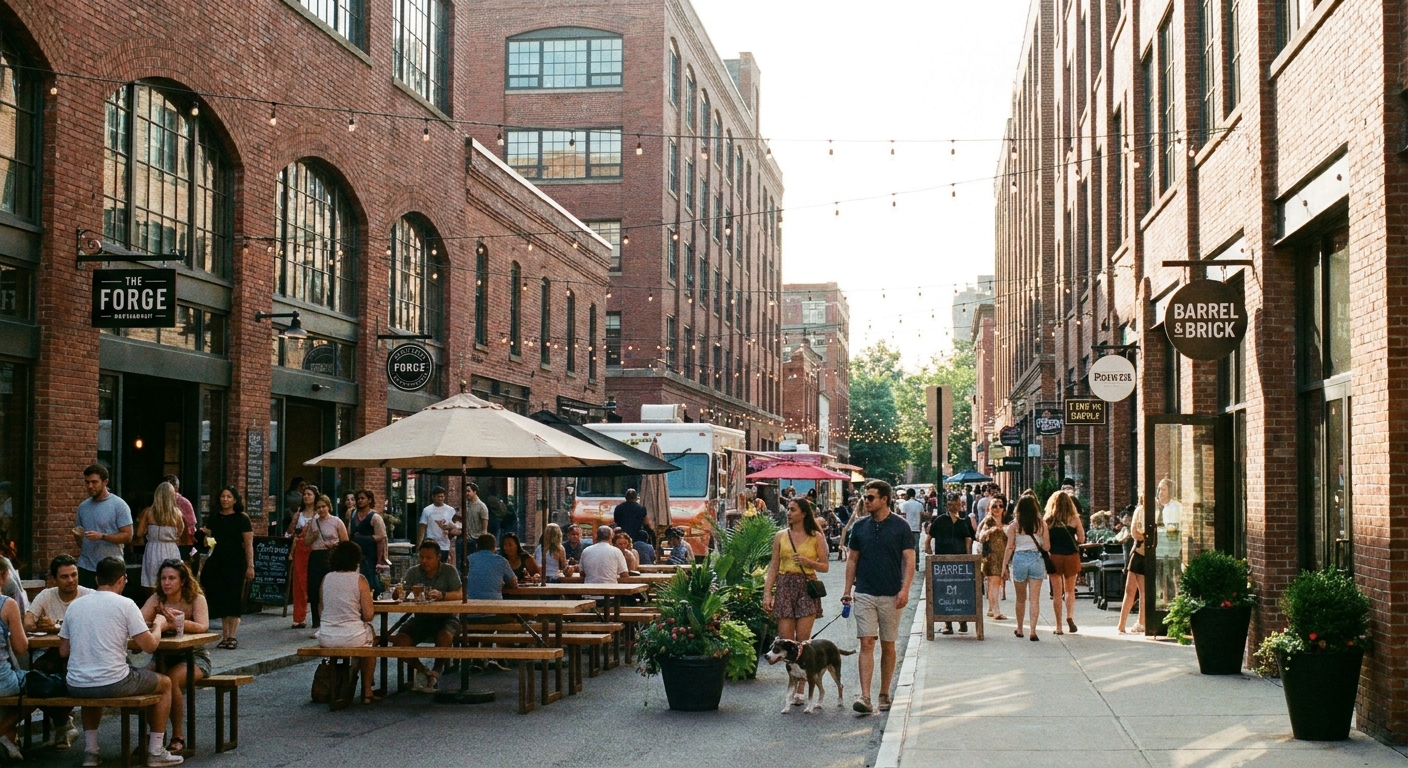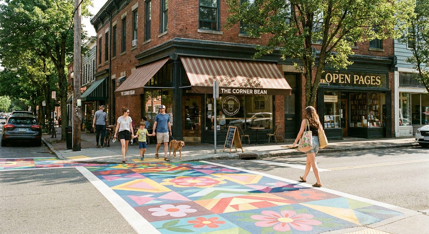

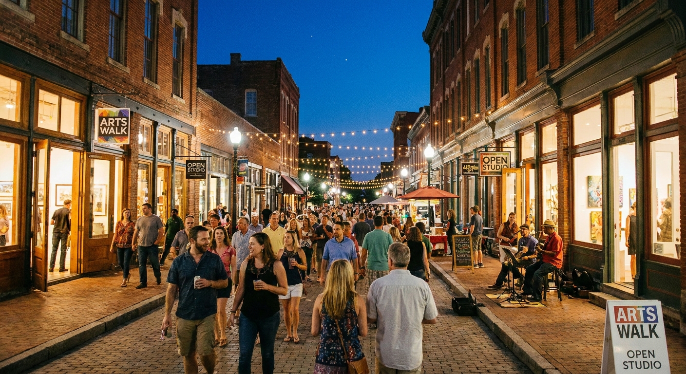
I grew up in a military family, which meant I got very good at landing in a new place and immediately asking: where do people go on a Friday night? Not the touristy stuff. The spots where locals wander with a coffee, pop into a tiny gallery, and somehow end up at a black box theater above a bookstore.
Here’s the fun part: you can often shortlist likely neighborhoods before you ever park the car, just by using ZIP code data. Not in a creepy way. In a practical, open data, “help me plan a great Saturday” way.
What counts as ZIP code data?
Think of ZIP code data as a bunch of clues that point to where creative life concentrates. For arts and culture districts, I focus on two buckets:
- Business and place data: counts of galleries, theaters, museums, music venues, bookstores, cafes, bars, and event spaces by ZIP code.
- Neighborhood context data: population density, age mix, household income ranges, commuting patterns, and a few practical proxies that support foot traffic.
Two quick examples of those “proxies,” in plain English:
- Walkability signals: dense blocks, connected street grids, and lots of destinations close together tend to behave like walkable areas.
- Daytime activity: commuting patterns can hint at whether people flow in and out during the day, which can support lunch crowds and after-work events.
You do not need to be a data scientist. You just need a repeatable way to compare ZIP codes around you and then sanity-check them with a quick map scan.
If you want the bigger “start with a ZIP code, build a day” method, I lay out the basics here: ZIP Code Lookup guide.
Open data sources
Business and venue clues
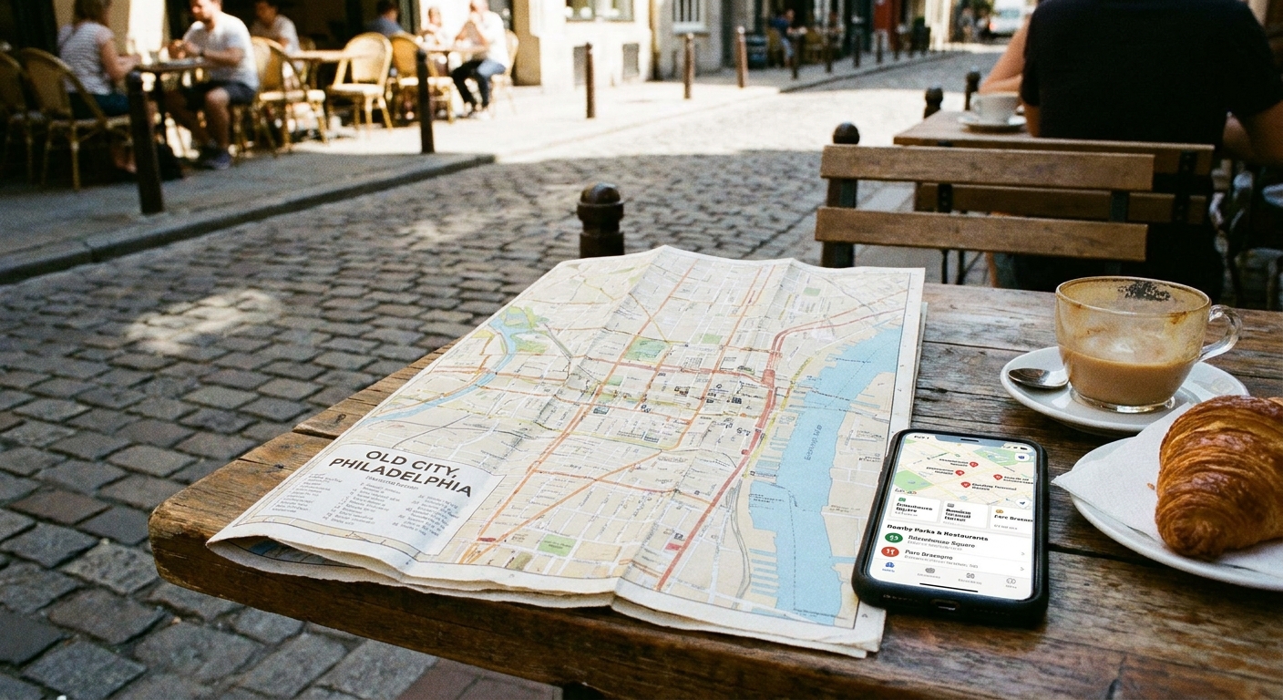
- OpenStreetMap: Great for finding clusters of amenities and seeing what’s truly walkable on the ground. Common tags include theatre, cinema, arts_centre, gallery, museum, and cafe, but tagging can vary by place.
- U.S. Census Bureau (ACS): Helpful demographic context at the ZIP Code Tabulation Area level (ZCTA).
- City and county open data portals: Often include cultural facilities, public art, special event permits, business licenses, historic landmarks, and zoning overlays. These are gold if your city publishes them.
- LEHD/LODES (optional): If you want a more direct read on workplace and commuting flows, this is one of the public datasets people use to understand where workers go during the day.
Quick but important note: USPS ZIP codes are mail routes. The Census uses ZCTAs, which are an approximation of ZIP codes for mapping and statistics. They usually line up well enough for planning, but they do not match perfectly.
I’ll keep it simple: if you only use one “venue map” source and one “demographic context” source, you can still plan a fantastic weekend.
External references if you want to explore directly: OpenStreetMap and the U.S. Census Bureau data portal.
Arts district signals
When I’m scanning ZIP codes near a city center or along a transit corridor, I look for a combination of these signals. One signal alone can be a fluke. Three or more together is where the magic happens.
1) Lots of third places
Arts districts love places where you can hang out before and after a show: coffee shops, bakeries, casual restaurants, wine bars, and independent bookstores.
Data move: Count amenities per square mile (or just eyeball clusters) and favor ZIPs where they are tightly grouped instead of scattered.
2) Small venue patterns
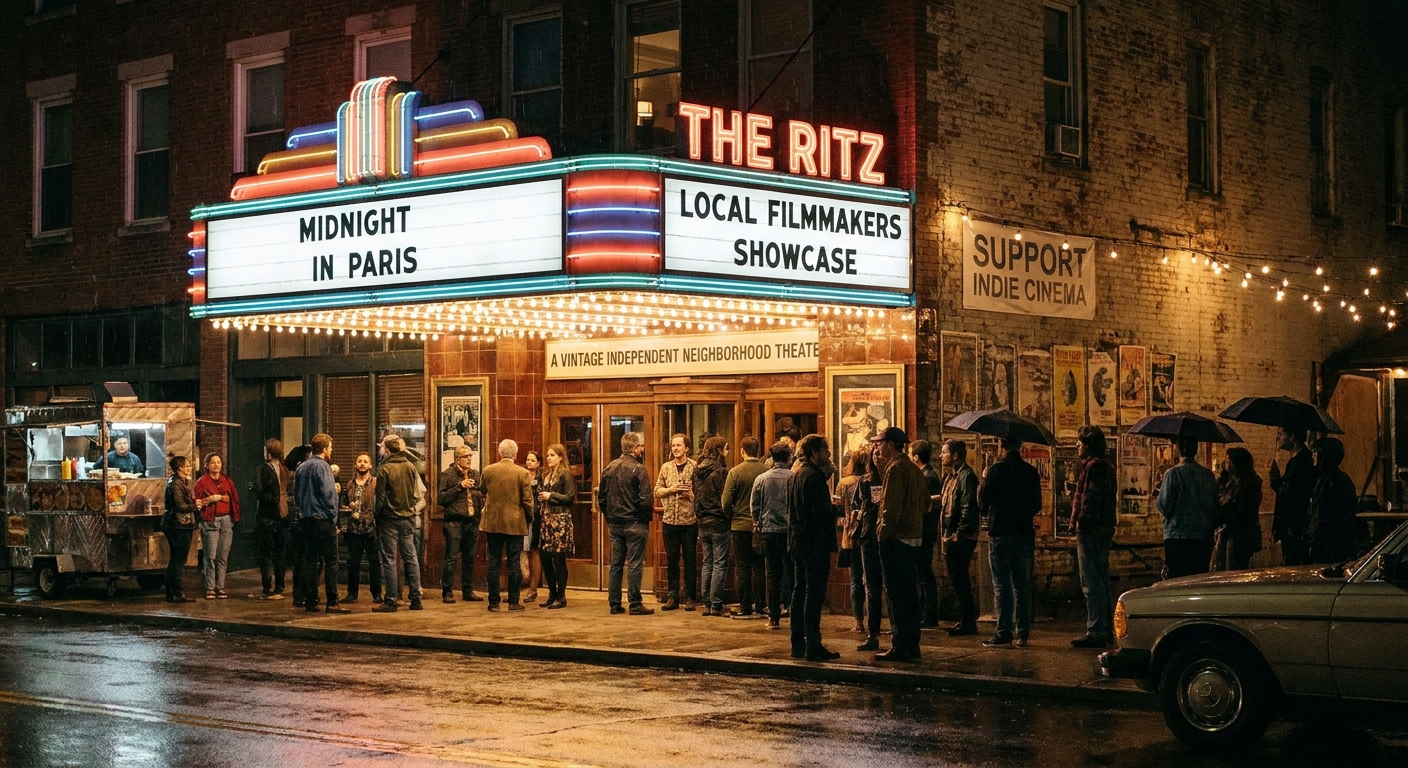
Indie theaters, black box spaces, rehearsal studios, comedy rooms, and live music bars tend to stack near each other because audiences like to bounce around.
Data move: Search within the ZIP for common venue tags and categories like theatre, arts center, cinema, live music, and performance space. You’re looking for a “nightlife spine,” not a single dot.
3) Old buildings, new life
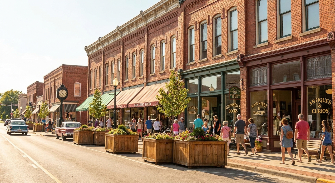
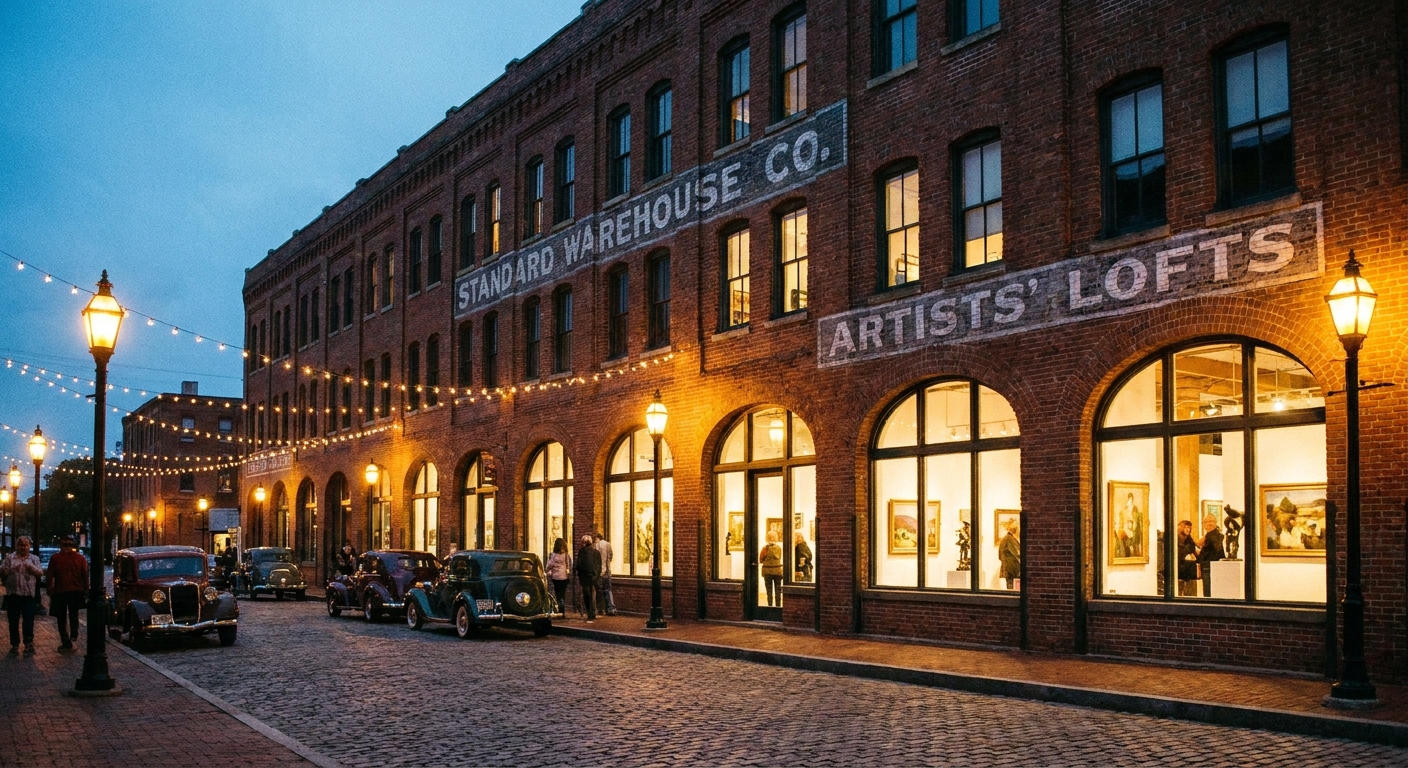
Artist-run galleries and quirky museums often move into older commercial corridors: brick warehouses, main streets, early 1900s storefronts, and industrial edges that got interesting again.
Data move: Look for historic landmarks datasets (if your city has them) or a visible pattern of older building stock on street view. Data points you to the ZIP. A fast map check confirms the vibe.
4) Walkable blocks and low-drama parking
This is the “Leah test.” If you have to drive 12 minutes between gallery A and dinner, the night falls apart. Great arts ZIPs are compact and forgiving: you can park once and wander.
Data move: In OpenStreetMap, zoom in and see if the “interesting dots” are within a 10 to 20 minute walk of each other. Bonus points for a nearby public garage or a big obvious commercial street with side street parking.
Rank ZIPs, then verify
Here’s my repeatable process for turning raw ZIP code data into a real weekend plan.
Step 1: Pick a home base
Start with your own ZIP code, your hotel ZIP, or a “random” ZIP in the metro area you want to explore. If you’re new to the radius approach, this pairs well with: How to plan a 5-mile radius day trip from any ZIP code.
Step 2: Pull nearby ZIP codes
You want a comparison set: downtown-adjacent, a couple of inner neighborhoods, maybe one college area, and one older suburban “main street” ZIP.
Step 3: Score each ZIP
I keep it low-tech. For each ZIP, give yourself one point for each item you can confirm:
- At least 2 galleries or arts centers
- At least 1 theater, cinema, or performance venue
- At least 6 cafes, bars, or casual eateries in one cluster
- A bookstore, record shop, or craft shop presence
- A museum or historic site nearby
- A clear walkable corridor (the “park once” test)
The top 2 or 3 ZIPs are your finalists.
Mini-example: ZIP A has four galleries, one small theater, and a tight cafe strip on one corridor. ZIP B has twenty restaurants, but they are spread along a highway with big parking lots. ZIP B “wins” on totals, but ZIP A usually wins in real life because you can park once, walk, and keep the night moving.
Step 4: Reality-check the finalists
- Check hours: arts spots with weekend hours and evening programming are a stronger bet than weekday-only spaces.
- Check event cadence: look for recurring art walks (First Friday, Second Saturday) and small venue calendars.
- Check the gaps: if there’s nowhere to grab a snack within walking distance, you’ll feel it.
Step 5: Build your micro-itinerary
This is where you turn data into a day. If you like a more general planning flow, use: Plan a local day out beyond a ZIP code.
Data-to-itinerary ideas
Once you have the right ZIP, you can mix and match based on what that ZIP is strongest in.
The Gallery Walk Loop
- Start: coffee in the densest cafe cluster
- Middle: 3 to 6 galleries within a 10 minute walk, plus one oddball shop (zines, records, vintage)
- Anchor: a museum or heritage site if the ZIP has one
- Finish: early dinner before crowds
The Indie Theater Night
- Start: quick bite near the venue (not across town)
- Main event: show time, then dessert within walking distance
- After: low-key bar or late coffee
Data tip: ZIPs with multiple small venues are safer. If one show is sold out, you have options without driving.
The Culture-and-Park Combo
- Morning: museum or cultural center
- Midday: lunch in a commercial strip
- Afternoon: nearby park or scenic overlook to reset your brain
If you want more ideas for the “park break” part, browse: Attractions.
Common pitfalls
ZIP codes are not neighborhoods
A ZIP code is a mail delivery area, not a perfectly drawn cultural boundary. Sometimes the arts strip sits right on the edge of two ZIPs. If your “winner” ZIP feels oddly empty on a map, check the adjacent ZIP that shares the same main corridor.
Big numbers can hide sprawl
A ZIP can have a lot of restaurants but still be a drive-everywhere situation. That’s why I always prioritize clusters over totals.
Not every arts spot is nightlife
Some cultural areas are daytime gems: artist co-ops, museums, studios open by appointment. If you’re planning a Saturday night, verify evening hours before you commit.
Data can be outdated
Businesses open and close fast. Use data to shortlist, then confirm with current hours and recent reviews.
Quick checklist
- Parking plan: identify one garage or a known easy parking street, then walk the rest.
- Two anchors: one must-do (museum, theater, signature gallery) plus one flexible backup.
- Food proximity: at least one meal option within a 10 minute walk of your anchor.
- Time buffers: 20 minutes for wandering, because you will find something weird and wonderful.
- Comfort kit: comfy shoes, a phone charger, and a light layer for dark theaters or breezy mural alleys.
FAQ
Can I really use Census data to find arts districts?
Indirectly, yes. Census and ACS data helps you understand whether an area supports the kind of foot traffic and business mix that arts areas thrive on. It does not tell you “there is a gallery walk here,” but it helps you rank likely ZIPs, especially when you combine it with venue data from maps.
What categories should I search for?
Start with: art gallery, arts center, museum, theater, cinema, live music venue, bookstore, record store, cafe, wine bar, brewery, and public art. Then follow the clusters.
What if my city doesn’t have many galleries?
Look for smaller signals: community theaters, independent cinemas, cultural centers, maker spaces, historic districts with event nights, and streets with a concentration of local restaurants. Culture shows up in different costumes.
How far should I roam?
For a micro-trip, I like a 5-mile radius if I’m in or near a city. It keeps the day tight and reduces “windshield time.” This walkthrough helps: 5-mile radius day trip planning.
Follow the repetition
The best arts and culture districts are rarely a single destination. They are repetition. Two galleries becomes five. One indie theater becomes a small venue row. Coffee becomes late-night dessert. When the same few blocks keep showing up in your ZIP code data and on your map, that’s your weekend.
If you want more ways to turn a ZIP code into a full day out, start here: ZIP Code Lookup.