

I grew up moving every few years, which means I got really good at landing somewhere new and immediately asking one question: where is the pretty drive? These days, I do the same thing on purpose. I pick a zip code, zoom out, and build a full day around whatever is happening in nature right now. In October, that is the loudest map on Earth. In March or April, it is blossoms, wildflowers, and fields waking up.
A seasonal color tour is not just “drive until you see leaves.” The secret is routing around timing (what is peaking this week), elevation (what is peaking today), and land use (where blooms actually live, like orchards, wetlands, and agricultural backroads). Here is how I plan it so the windshield stays scenic and the day still feels easy.
Start with a peak window
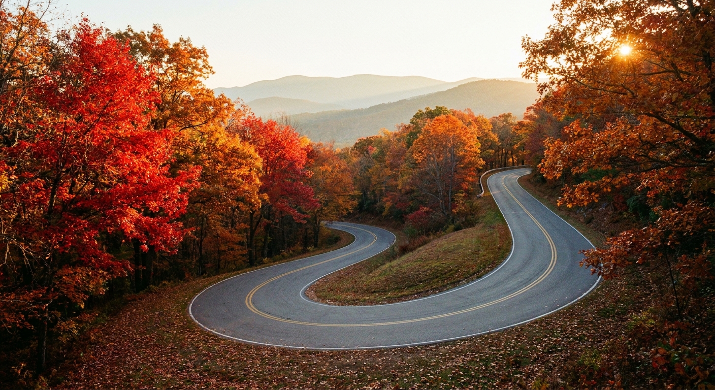
Seasonal transitions move like a slow wave. If you chase one exact weekend, you will get burned by a cold snap, a heat spike, or a windy day that drops petals overnight. I plan a 7 to 14 day window and then build a route that can slide north or south, higher or lower, depending on what is peaking.
Fall timing, in plain English
- Higher elevations change first. If you want earlier color, climb.
- North and inland change before south and coastal. Cool nights are your friend.
- Drought can mute color. You can still have a beautiful drive, but focus more on overlooks and rivers than “fireworks trees.”
Spring timing, in plain English
- Low elevations bloom first. Valley floors and town edges can pop while hills are still brown.
- Warm spells speed everything up. Great for photos, chaotic for planning.
- Gentle rain can help blooms look fresh. Heavy rain and wind can end the show fast, especially for blossoms.
If you want a quick gut check on what is happening in your region, I like using the National Phenology Network’s tracking tools as a reality check alongside local reports: https://www.usanpn.org/.
Use elevation for timing
If you only take one idea from this article, take this: elevation can shift peak timing by days to a couple of weeks, depending on your region and the weather. When I am building a route, I sketch a climb-and-descend loop so I can catch early color up high and lingering greens down low, or early blooms in the lowlands and later blooms in foothills.
A simple elevation strategy
- Pick a starting zip code near where you actually live or are staying.
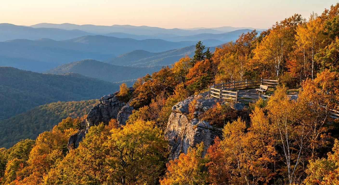
- Identify a “high point” zone within 60 to 90 minutes: a ridge road, mountain pass, or plateau.
- Route back down via a different drainage (river valley, lake shore, or farm corridor) so the scenery changes instead of repeating.
Even if you are not in “mountain country,” elevation still matters. In many areas, a 500 to 1,500 foot difference between river bottoms and bluffs can move peak enough to notice, especially in shoulder weeks when everything is changing quickly.
To plan micro-trip loops like this by zip code, I use the same radius-first approach I describe in How to Plan a 5-Mile Radius Day Trip From Any ZIP Code and just scale it up for a longer drive.
Use local peak trackers
National trackers are helpful, but the best intel is local. For foliage and bloom tours, I look for three categories of updates and use them to decide where my loop should lean this week.
1) Regional foliage reports
Many states, tourism boards, and local papers publish weekly maps or written updates during leaf season. One widely used reference is Smoky Mountains foliage updates, which are useful even if you are not going there because they explain how elevation shifts timing: https://smokymountains.com/fall-foliage-map/.
2) Garden and arboretum bloom calendars
Gardens are like living season dashboards. Not as a perfect prediction for your whole region, but as a really helpful clue for what is coming next. If tulips are peaking at a local garden, it often means spring is moving fast. If magnolias are already dropping, I pivot toward later blooms, different species, or higher elevations.
If you want a garden-centered day that still feels like a road trip, you can steal structure from The Botanical Day Out and extend the driving legs between stops.
3) Agricultural and orchard updates
For spring especially, farms are the heartbeat. Orchards and u-pick operations often post bloom progress because it affects harvest later. Even if you do not plan to pick anything, their updates help you route toward the best blossoms and away from already-done corridors.
Build routes off highways
If your goal is a highly visual drive, highways are usually the enemy. The views are faster, noisier, and often blocked by sound walls or commercial strips. I route with two scenic magnets that deliver again and again:
- Agricultural grids: county roads between fields, orchards, vineyards, and farm stands.
- Water corridors: river roads, lake loops, marsh edges, and coastal causeways.
If you want a ready-made way to stitch river scenery into a drive, my favorite approach is in Tracing the Waterway: Build a River Road Trip.
Quick ways to sanity-check a road
- Zoom out first. A road that hugs a river, a ridge, or the edge of public land usually stays prettier longer than a straight commercial strip.
- Scan for “strip signals.” Big-box clusters, dense driveway cuts, and long stretches of parking lots usually mean stoplights and visual clutter.
- Look for continuous canopy. Tree-lined older neighborhoods and rural lanes with hedgerows photograph better than open arterials.
- Confirm your pull-offs. I like to spot two or three parks, lots, or overlooks along the loop before I commit.
My go-to structure: the scenic ladder
Think of your day as rungs:
- Rung 1: Coffee and a quick park walk close to your start zip code.
- Rung 2: A farm corridor or blossom-heavy neighborhood streets.
- Rung 3: The high point overlook or signature view.
- Rung 4: A small town lunch stop.
- Rung 5: A water road back home with sunset potential.
Need help picking the high point and signature view rungs? I keep it simple with scenic pull-offs, towers, and ridge vistas from Find Scenic Overlooks by ZIP Code.
Keep it photogenic and easy
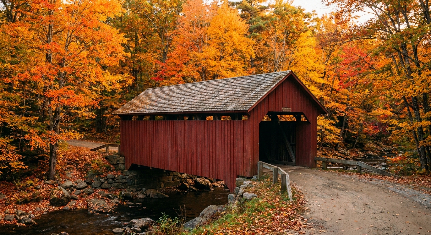
A color tour gets tiring when the car never stops or, worse, when it stops constantly with nowhere pleasant to stretch your legs. I plan three real stops (walkable, restroom access, low stress parking) and keep everything else as optional pull-offs.
My three-stop rule
- Stop 1 (morning): A short trail loop, boardwalk, or botanic garden. Aim for 30 to 60 minutes.
- Stop 2 (midday): Lunch in a town center, plus one block of wandering. This is when you get murals, old storefronts, and surprise trees.
- Stop 3 (late afternoon): A viewpoint or waterfront with golden-hour light.
Make it accessible on purpose
If someone in your group needs an easier day, build your three real stops around overlooks, boardwalks, paved paths, and park loops. You can still have a spectacular route without a single steep trail. The goal is the same: safe parking, a short leg stretch, and a view that earns the stop.
Then I pepper in one truly silly delight, because I cannot help myself. If your route needs a palate cleanser between scenic segments, skim Mapping Quirky Roadside Attractions by ZIP Code and grab one detour that makes everyone laugh.
Routing checklist
Here is the quick-and-practical checklist I run through before I commit to a color tour route.
- Distance cap: 150 to 220 miles total for a relaxed day, unless you are doing an overnight.
- Road type: Prioritize state highways and county roads with frequent pull-offs. Avoid long interstate stretches.
- Elevation swing: Include at least one climb or one bluff section if your region has it.
- Two season anchors: Two must-hit landscape types that hold color well. For fall, a ridge road plus a river valley. For spring, an orchard corridor plus a park or garden known for flowering trees.
- Town center stop: A place with an actual main street. It keeps morale high.
- Weather check by area: Not just your start zip code. Weather can change dramatically across ridges and valleys. If you like getting this granular, pair it with Match Hyper-Local Weather to ZIP Codes.
- Closures and services: In shoulder seasons, double-check seasonal road closures, limited park hours, and whether restrooms are actually open. A closed pass or locked gate can turn a “relaxing loop” into an unplanned reroute.
- Plan B loop: A shorter alternate that skips the farthest leg if traffic or weather turns.
Fall routing moves
Chase mixed forests
The most dramatic color usually comes from a mix of deciduous species. In many regions, that means foothills, older neighborhoods with mature street trees, and edges where hardwoods meet evergreens.
Time ridge roads for late morning
Early morning can be foggy in valleys, and harsh shadows can make color look dull in photos. Late morning to early afternoon is often the sweet spot for ridge views, depending on haze.
Use peripheral zip codes
If a famous overlook is slammed, I slide the route one or two zip codes outward to find quieter pull-offs and parallel roads with similar elevation. That strategy is the backbone of Festival Day Escapes by Peripheral ZIP Code, and it works just as well for leaf season.
Spring routing moves
Pick one star bloom
Spring is a relay race. Choose your headliner and let it dictate timing:
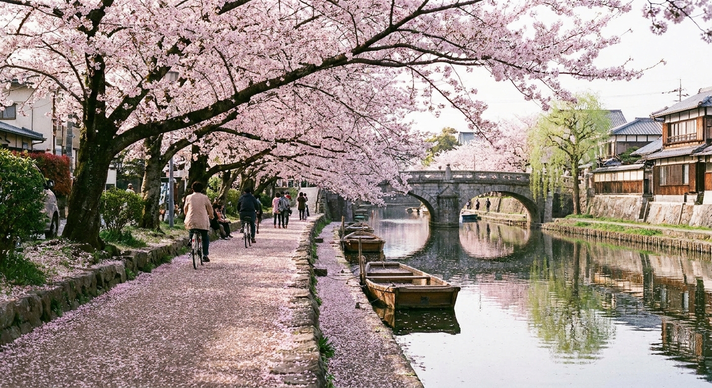
- Flowering trees: magnolia, cherry, redbud, dogwood
- Field blooms: tulips, lavender, sunflowers (later), wildflower meadows
- Wetland blooms: swamp azalea, marsh wildflowers, water lilies (later)
Once you pick the headliner, route to habitats where it naturally thrives. Dogwoods love woodland edges. Orchards cluster in agricultural belts. Wildflowers often light up disturbed ground and sunny slopes.
Drive the farm triangle
I like a triangle route: orchard or farm stand, then a garden or park, then a small town bakery or diner before looping home on another set of rural roads. If you need help making the food stops feel intentional, I build mine the same way I do in Find Hidden Gem Restaurants With a ZIP Code.
Safety and etiquette
- Do not stop on blind curves. If there is no safe pull-off, keep driving. There will be another view.
- Respect private land. Orchards, fields, and scenic lanes can look public but are often working property.
- Pack a tiny car kit: water, snacks, a basic first-aid kit, phone charger, and a layer for higher elevations.
- Arrive early for famous spots. If you want the iconic overlook photo, go before lunch and use your quieter peripheral route later.
FAQ
How long should a color tour be?
For a day trip, I aim for 4 to 6 hours of driving broken into segments, plus 3 meaningful stops. If your group loves photos, shorten the driving and add walking time.
What if peak is late or early?
Adjust elevation first, then latitude. Go higher for earlier fall color and later spring blooms. Go lower for later fall color and earlier spring blooms. When in doubt, build a route with options so you can nudge the loop up or down without scrapping the day.
How do I keep the route scenic the whole time?
Route between anchors that naturally stay pretty: rivers, ridges, farm belts, and older tree-lined neighborhoods. Then keep highways as connectors only when absolutely necessary.
Can I plan this by zip code?
Yes. Start with a zip code you can reach easily, map a loop with a high point and a water corridor, then choose stops within those bands. If you want more zip-first trip planning ideas, Road Trips is where I keep the most drive-heavy itineraries.