

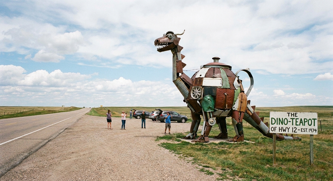
Any time I move to a new area (military-family habit that never left me), I have two coping mechanisms: I find the nearest mom-and-pop diner, and I locate the closest giant thing. Giant fork. Giant rocking chair. Giant peanut. I do not make the rules, I just follow the roadside magic.
The fun part is that you do not need a famous highway or a cross-country vacation to pull off a novelty day trip. You just need one starting ZIP code and a little map strategy. Here is exactly how I use ZIP codes and map coordinates to string together roadside kitsch, oversized sculptures, and odd little museums into a smooth, low-stress loop you can knock out in a single Saturday.
Start small
If you begin by saying, “Let’s do quirky attractions in the state,” you will end up with 19 browser tabs and no plan. Instead, pick one anchor ZIP code and build outward like a little spider web.
Pick your anchor ZIP
- Your home ZIP if you want the easiest logistics.
- A nearby ZIP if you want the novelty of exploring “somewhere else” without going far.
- A ZIP near a highway junction if you want multiple odd stops with minimal backtracking.
If you like the micro-trip approach, my favorite companion method is building everything inside a small radius first, then adding one “stretch” stop if time allows. This pairs perfectly with how to plan a 5-mile radius day trip from any ZIP code.
Find the odd stops
Roadside oddities hide under a bunch of different labels. The trick is using a consistent pattern, then saving candidates to a single map list so you can route them later.
Use labels that work in map apps
Instead of hunting for one perfect term, I rotate through a few label buckets and keep the location anchored to my starting ZIP (or the next nearby ZIP once I find a cluster). In most map apps, you can also use “Search this area” after you pan to your anchor ZIP.
- Classic roadside kitsch: roadside attraction, world’s largest, giant object
- Specific icons: Muffler Man, fiberglass statue, dinosaur statue
- Art you can actually reach: mural, public art, sculpture garden
- Small museums: local museum, quirky museum
- Accidental weirdness: historic marker, roadside memorial
For the historic-marker angle, I keep this guide bookmarked: find historical markers by ZIP code. A surprising number of “Wait, why is that here?” stories come from plaques and small local memorials.
Vet each stop fast
- Photos matter more than descriptions. If the listing is vague but photos show a giant fiberglass animal, I am in.
- Read the newest reviews. You are looking for clues about access: parking, fences, seasonal hours, and whether it is visible from the road.
- Confirm it still exists. Roadside stuff disappears, gets moved, or ends up behind construction for months.
- Check the property vibe. Some “giant things” are meant to be seen from the road only. If it looks like private land, treat it like a drive-by unless signage clearly invites visitors.
Optional: use Atlas Obscura for idea mining
If you want a quick way to generate candidates, Atlas Obscura can be a useful idea board. I treat it as a lead list, then confirm details in the map app and recent photos before committing.
Use coordinates
Some novelty stops do not have a clean address. They have “behind the old feed store” energy. This is where coordinates save your whole day.
When to switch to coordinates
- The attraction is listed as a vague landmark, not a business.
- The map pin is clearly wrong, like dropped in the middle of a river.
- It is a roadside mural or sculpture that sits on a long stretch of road.
- You found it from photos and need to match the exact spot.
How I grab them quickly
- Open the location in your map app.
- Drop a pin exactly where you would park or stand.
- Copy the coordinates your app provides (latitude and longitude, or a Plus Code depending on the app).
- Save it to your list with a note like “park on east shoulder” or “pull in behind diner.”
Pro tip from too many accidental U-turns: save parking coordinates when the attraction itself is near a highway. Your future self will be grateful.
Build a loop
My ideal quirky-attractions day has variety and momentum. Here is the simple formula I use so the day feels full, but not exhausting.
3 primary stops
These are the “photo and grin” anchors. Think giant objects, unusual museums, odd monuments, or a truly offbeat roadside display. On most days, I plan about 20 to 45 minutes each, depending on whether you can walk around or go inside.
2 quick stops
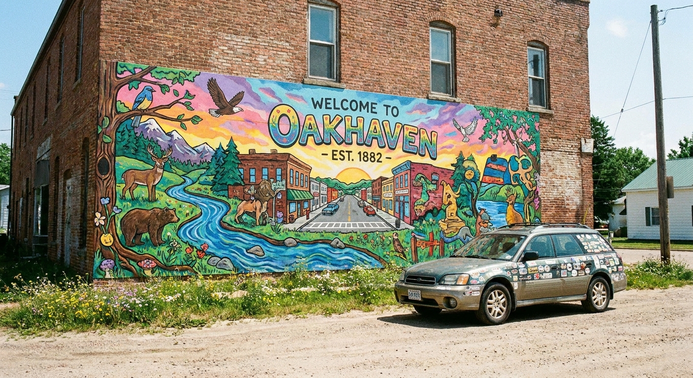
Quick hits: a mural, a scenic overlook, a historic marker with a strange backstory, a funky antique store you can browse for 15 minutes.
1 food stop that counts
This is my secret sauce. A classic diner, a drive-in, a tiny bakery with a theme, anything that makes lunch feel like part of the fun.
If you want help finding food that is not a chain, use find hidden gem restaurants with a ZIP code to plug the same anchor ZIP into your meal planning.
My spacing rule
On most Saturdays, I try to keep the whole loop to roughly 60 to 90 minutes of driving total. If the route is getting stretched, I split it into two mini-loops and save the second for next weekend.
One more thing I learned the hard way: if you are heading into rural pockets, add a bathroom stop on purpose. A diner lunch helps, but I also like to pin a park or a bigger gas station along the loop so nobody is doing math in the back seat.
Use ZIPs to cluster
Once you have a list of candidates, ZIP codes help you group stops quickly without doing mental math.
Quick reality check: ZIP codes are mail-delivery tools, not neat geographic neighborhoods. The “ZIP boundaries” you see on maps are approximations (often based on ZCTAs) and can vary by provider. I use them as a planning shortcut, not as a statement of geographic truth.
My “ZIP rings” method
- Ring 1: Your anchor ZIP.
- Ring 2: ZIP codes in the same immediate area (the ones that come up as “nearby” in your map app or are a short hop away when you zoom out one notch).
- Ring 3: One more layer out, only if you need a stretch stop.
Most of the time, Ring 1 plus Ring 2 gives you plenty for a full day.
Use boundaries as a time guardrail
ZIP boundaries are not perfect representations of neighborhoods, and different maps can display them differently. But as a planning guardrail, they are great for keeping your day tight. If you like building trips by borders, you will also enjoy mapping a self-guided walking tour with ZIP code boundaries, especially in areas with murals or public art clusters.
Costs and cash
A lot of roadside weirdness is free, which is part of the charm. But the day goes smoother when you plan for the little costs that pop up.
- Expect small admission fees at tiny museums, local exhibits, and niche collections.
- Bring a little cash for cash-only diners, farm stands, honor boxes, and the occasional “donation suggested” jar.
- Budget for impulse stops like a $5 slice of pie that you will still be thinking about on Tuesday.
Offline backup
If your loop touches rural pockets, plan for dead zones. Before I leave, I do one of these:
- Download an offline map area in my map app if it supports it.
- Screenshot my saved list with the day’s key pins and the order I want to hit them.
- Keep the coordinates notes simple so I can still find the parking pull-off even if the app is thinking about it.
Safety and access
Quirky roadside attractions sometimes live in the gray area between public and private. I am all for oddball detours, but I am not for trespassing or playing frogger with traffic.
My quick checklist
- Parking: Is there a real pull-off or lot, or would you be stopping on a blind curve?
- Visibility: Can you see it from where you park, or would you need to cross lanes?
- Signs: Respect “No Trespassing” and “Employees Only.” A photo is not worth a confrontation.
- Hours: Museums and novelty shops love random closures. Confirm same-day hours if possible, especially in shoulder seasons.
- Weather: Wind and storms make roadside shoulders miserable. If you like planning hyper-local conditions, use matching hyper-local weather to ZIP codes before you commit.
Kid and pet reality check
If you are bringing kids, prioritize stops with real bathrooms and space to move between stretches in the car. If you want to fold in a park break, kid-friendly parks by ZIP code helps you drop in a reset stop that keeps everyone happy.
Mix-and-match ideas
You do not need a specific landmark in mind to plan a great route. Choose a couple of categories, then hunt within your ZIP rings.
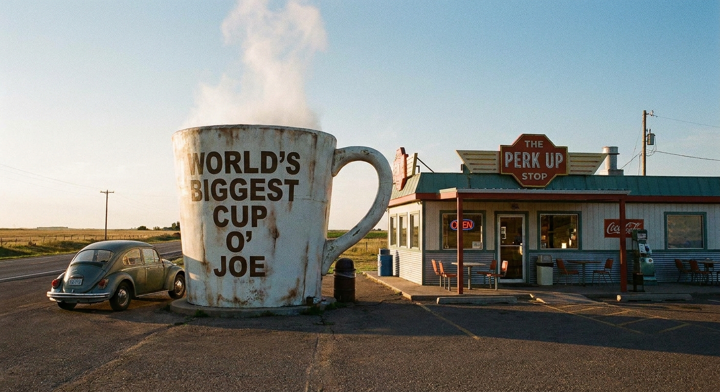
- Giant object: Fruit, animals, tools, coffee cups, you name it.
- Roadside character statue: Muffler men, folk art guardians, locally famous mascots.
- Oddball museum: Small, specific, and slightly unhinged in the best way.
- Quirky architecture: A building shaped like something, or a truly eccentric storefront.
- Public art cluster: Murals, sculpture gardens, and unexpected installations.
- Historic weirdness: Strange memorials, unusual town claims, offbeat markers.
Sample schedule
Here is a day structure I use constantly. Swap in your own times, but keep the rhythm.
- 9:00 a.m. Coffee plus quick roadside stop near your starting ZIP
- 10:00 a.m. Primary stop #1 (about 20 to 45 minutes)
- 11:15 a.m. Quick stop (10 to 20 minutes)
- 12:00 p.m. Lunch that doubles as an attraction
- 1:15 p.m. Primary stop #2
- 2:30 p.m. Scenic detour or historic marker
- 3:30 p.m. Primary stop #3
- 4:30 p.m. Optional treat stop or antique browse
- 5:30 p.m. Back home, with a camera roll full of proof
If you want an even looser structure that still gets you out the door, I keep it simple with plan a local day out beyond a ZIP code, then I add roadside weirdness on top.
FAQ
How many stops is too many?
For most days, 5 to 7 total stops is my sweet spot, especially if two of them are quick photo stops. More than that and I start rushing, which ruins the fun.
What if the “attraction” is just something you see from the road?
That still counts. Just plan it as a drive-by plus a safe pull-off if possible. If there is no safe place to stop, enjoy it from the car and keep rolling.
Do I need a special map app?
No. Any map app that lets you save places and share a pin works. The key is saving everything in one list, then using ZIP clusters to keep your route compact.
How do you avoid backtracking?
I build a loop: start and end near the anchor ZIP, then order stops by which ones are near each other. If two primary stops are separated by a longer drive, I add a food stop or park in between so the distance feels like a planned transition instead of a slog.