

I grew up in a military family, which means I learned early how to land somewhere new and immediately figure out where the good coffee is, where the views are, and where the locals actually eat. Ski towns are one of my favorite places to do that, especially when I am not skiing. A resort zip code can look like one big logo on a map, but if you zoom in and follow the data, it turns into a full day out: easy overlooks, low-commitment trails, year-round restaurants, and shops that make you want to “just pop in” for an hour and accidentally stay for three.
This is how I map a ski zip code for non-skiers and off-season visits, using the same micro-trip method I use everywhere else: start with the zip code, build a tight radius, and let the place show you its best all-season version.
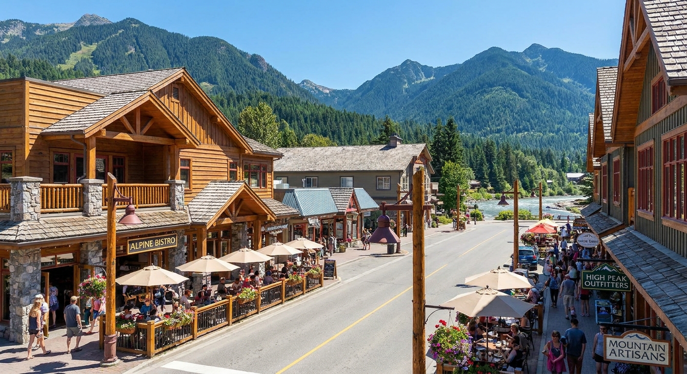
Start with the zip code
Resort towns are sneaky. The ski area is the headline, but the zip code is the whole story. When you plan around a zip code instead of a brand name, you naturally find the supporting cast that makes a mountain town feel like a town.
- Pick one zip code that covers the core village or downtown, not a whole valley. If you are unsure, use a lookup approach first so you do not accidentally plan across a massive rural area.
- Build a simple radius for the day. I like a 5-mile radius for a walkable village day, or 10 to 15 miles if you want a scenic drive and a couple of short stops.
- Use the boundaries to stay realistic about elevation changes, winding roads, and weather. In my experience, five miles in the mountains can feel like fifteen.
If you want the “how” of the radius method, I laid it out step-by-step here: How to Plan a 5-Mile Radius Day Trip From Any ZIP Code.
Pick four anchors
When the chairlifts are not the point, I plan a resort-town day around four anchors. They work in winter, mud season, peak summer, and those shoulder-season weekends when half the town is closed and the other half is blissfully calm.
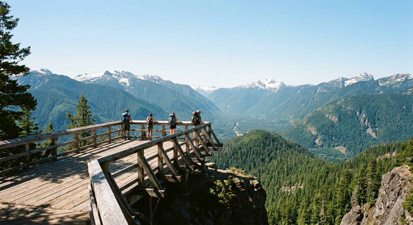
- Views you can earn in under 30 minutes (overlooks, scenic rides, short hikes)
- Food that is great even if you are in boots (breakfast, lunch, coffee, early dinner)
- Shops with personality (local goods, bookstores, used gear, the place with the best stickers)
- One story stop (a mining museum, an old rail depot, an avalanche center, or a cluster of historic plaques)
This structure keeps the day feeling full without forcing you into a “tourist trap sprint.” And because you are using map data, you can swap options based on weather, crowds, and energy.
Easy views
The best resort-town views are not always the hardest hikes. Often they are the easiest ones, because ski infrastructure is designed to move lots of people uphill efficiently. That said, access can come with a few strings: limited operating days, weather holds, ticket costs, and some walking or stairs at terminals.
1) Look for scenic lifts and gondolas
Some resort areas run a gondola or lift for sightseeing in summer, and a few operate on select shoulder-season dates. Plenty do not. Before you build your day around it, check the resort’s operating calendar and day-of status.
On a map, look for:
- “Gondola,” “aerial tram,” “scenic ride,” or “mountain coaster” pins
- Base areas with large parking fields and shuttle stops
- Restaurants labeled “summit” or “mid-mountain”
Micro-trip tip: If the lift is closed, the base area can still be worth it. You can often get a wide-open view, a flatter path, and a patio coffee without committing to a hike.
2) Map overlooks and pullouts
Overlooks do not always show up as “attractions.” They show up as road geometry. When you are scanning the zip code and nearby routes, look for:
- Switchbacks with widened shoulders
- Short spur roads that end at “parking” or “trailhead” pins
- Named passes and lakes that are popular photo stops
Parking reality check: In peak season, the prettiest pullouts fill early. If you want that easy view, plan it before lunch, not as a “sunset maybe.” Also, never block driveways or squeeze onto soft shoulders that can crumble.
3) Choose “easy trail” pins, then verify slope
Maps love to call everything a hike. My filter is simple: I want something that feels scenic even if you only do the first 0.5 to 1 mile. Good candidates are riverside paths, interpretive trails, and lake loops.
To keep it accessibility-friendly, look for:
- Trail descriptions that mention “paved,” “packed gravel,” or “boardwalk”
- Photos that show strollers, wheelchairs, or wide paths
- Trailheads with restroom icons and larger lots
If you want a family-forward approach to mapping outdoor stops, you can steal my method here: Kid-Friendly Parks by ZIP Code.
Year-round restaurants
In a ski town, the “best” restaurant on a list is not always the best choice for your day. I care about three things: consistency, timing, and location.
Use map signals that predict a good meal
- Hours spread across the week: Places that are open more days tend to be more reliable in shoulder season, but still verify day-of. Posted hours are not a promise when staffing is tight.
- Photos of real plates: A wall of cocktails is fun, but I want to see breakfast, sandwiches, and anything that travels well.
- Distance to your view stop: In mountain towns, a “quick bite” can turn into a 25-minute drive each way.
Then I build the day around three food moments:
- Breakfast or coffee near your first parking plan (village or downtown)
- Lunch near your easiest view (base area, lake, or overlook corridor)
- Early dinner back in town so you are not white-knuckling a dark canyon road later
For more on finding the mom-and-pop wins inside any zip code, this is my go-to: Find Hidden Gem Restaurants With a ZIP Code.
Local-feeling shops
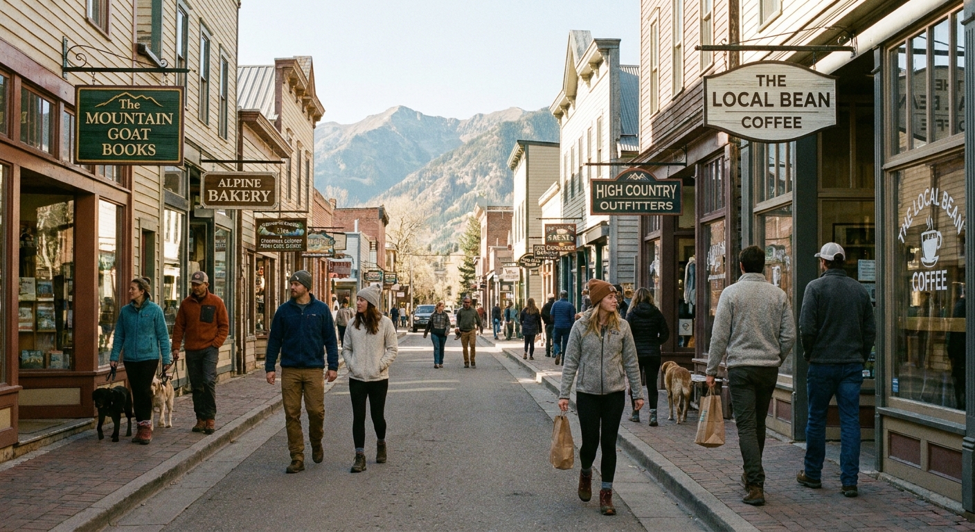
Resort villages can lean heavily into chains and branded gear. The trick is to use the zip code to find the pockets where locals run errands. That is where you get the good bookstores, the ski-town thrift find, and the coffee shop that knows what “regular” means.
Two map moves that work
- Search one block off the main drag. On a map, the highest-rent street is obvious. Slide one street over and look for clusters of small pins: bakery, repair shop, tiny gallery, used gear.
- Look for “mercantile,” “co-op,” “outfitter,” and “local goods.” Those keywords often signal independent ownership.
If shopping is your happy place, you can build the whole middle of the day around it: Map a Support-Local Shopping Spree by ZIP Code.
Add one culture stop
This is the difference between “we grabbed lunch in a ski town” and “we had a whole day.” Mountain towns tend to have fascinating backstories: mining booms, rail lines, avalanche history, Indigenous heritage, early tourism, and the weird little rivalries that never make it into glossy brochures.
What I search for inside the zip code
- Historical markers, museums, or heritage centers
- Public art walks and small galleries
- Old depots, scenic rail remnants, or downtown plaques
You can map these fast with the same method I use for walking tours and marker hunts: Find Historical Markers by ZIP Code and Map a Self-Guided Walking Tour With ZIP Code Boundaries.
Sample itinerary
Here is my plug-and-play itinerary that works for almost any ski zip code, whether you are visiting in July, October, or a winter weekend when you do not want to touch a lift ticket.
9:00 a.m. Start in the village core
- Park once if you can. Choose the biggest public lot you see near downtown or the transit center.
- Grab coffee and a real breakfast, not just a muffin you will regret at noon.
10:30 a.m. Do an “earned view”
- Choose a gondola ride, an overlook, or a lakeside loop.
- Keep it simple: one main stop, one optional short stroll.
12:30 p.m. Lunch near your view corridor
- Prefer places with flexible seating and fast ordering, especially in shoulder season when staffing can be thin.
2:00 p.m. Shop one street off the main drag
- Pick 2 to 4 small shops instead of trying to browse everything.
- Build in a 20-minute wander buffer. This is where you find the good stuff.
3:30 p.m. Add a culture stop
- A historical marker cluster, a small museum, or a gallery walk.
5:00 p.m. Early dinner, then a golden-hour stroll
- Eat early, then do a short walk along the river path, main street, or a public park.
- If the town is at elevation, the temperature drop after sunset can be dramatic even in summer.
Before you go
- Altitude is real. Hydrate early, go easy on alcohol, and plan a shorter first hike than your ego wants.
- Sun hits harder up high. Sunscreen, sunglasses, and a hat matter even when it is cool.
- Afternoon storms happen. If thunder shows up, get off exposed ridges and skip the high points.
- Cell service can vanish fast. Screenshot your map, and do not rely on one navigation app.
- Parking rules are not suggestions. Look for paid parking zones, permit lots, reservation systems, and tow-away signs. At pullouts, stay fully off the travel lane and do not block gates or driveways.
Off-season realities
Off-season resort towns are my favorite, but they do require a little extra planning. Here are the checks I do before I commit to a zip code day.
Mud season and shoulder weeks
- Expect rotating closures. Instead of one “must-do” restaurant, save three options close together.
- Look for towns with a real grocery store. It is a good sign the place has year-round life, and it gives you an easy backup picnic plan.
- Choose paved or packed paths. That dreamy lakeside trail can be ankle-deep in spring.
Hyper-local weather by zip code
Mountain forecasts can vary wildly between downtown and the ridge you are driving toward. I always check conditions tied to the specific area I am exploring, then I pack one layer warmer than I think I need.
This helps you match your stops to the actual conditions: Match Hyper-Local Weather to ZIP Codes.
My mapping checklist
- One main parking plan: downtown lot or transit center first
- Two view options: one scenic ride or overlook, one short trail backup
- Three food options: coffee, lunch, early dinner in a tight area (and verify hours day-of)
- One local shopping pocket: one block off main street
- One story stop: marker, museum, depot, or art walk
- One bailout plan: if weather turns, go indoor-heavy and keep driving minimal
And if you want to zoom out beyond the resort core, this is a good companion read: Plan a Local Day Out Beyond a ZIP Code.
FAQ
Is a resort town worth visiting if I do not ski?
Yes, especially if you plan around views, food, and walkable pockets instead of lift tickets. Ski-town infrastructure can make mountain scenery easier to access, but it may be pricey, weather-dependent, and not always fully barrier-free.
What is the best season for a non-ski resort town day trip?
Late summer and early fall are the easiest for weather and trail conditions, but shoulder season can be fantastic if you plan flexible restaurant options and focus on easy, paved walks and scenic drives.
How do I avoid the “everything is expensive” trap?
Use the zip code to find the everyday parts of town: grocery-adjacent cafes, one-street-off shopping, parks, and public trailheads. Also, eat your big meal at lunch and do a simpler early dinner.
What if the scenic lift is closed?
Pivot to an overlook corridor and a short, flat trail. Base areas can still be great for views and patios even when the lift is not running.