
I grew up in a military family, which meant I was always the new kid with a new map. My fastest way to feel at home was simple: find the nearest transit hub, step off, and start walking like I belonged there.
That instinct turned into one of my favorite micro-trip tricks: use a town’s train station ZIP code as your starting pin, then build a completely car-free day around it. In many towns, stations land where things are naturally walkable, historic, and snackable. In other places, especially with newer or relocated stations, they can sit near highway ramps, parking lots, or warehouse corridors. Either way, when your “home base” is a timetable, you naturally plan a loop that ends right where you started. No parking. No worrying about a car. No “we should move it before the meter expires” energy.
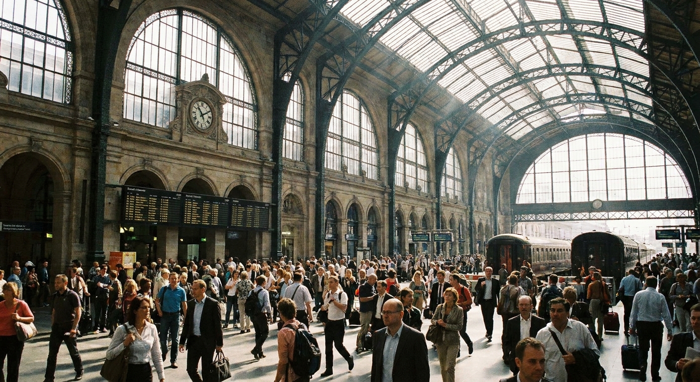
Why the station ZIP code works so well
A station’s ZIP code is a tiny piece of location data with big itinerary power. Here’s why it makes a great anchor for walkable adventures:
- It’s built for arrivals. Stations often sit near services travelers need: cafés, convenience stores, hotels, and clear sidewalks.
- It’s already a natural landmark. “Meet by the station” is easy for everyone in your group, even if you split up.
- It keeps your day realistic. If you can walk back to the station for your return train, you are automatically planning within a manageable radius.
- It pairs well with small-town geometry. In many places, the main street, waterfront, campus, or historic core is within a few miles of the tracks. If it is not, you will learn that quickly and adjust with one short transit hop.
If you want to use the same radius trick I use for almost every micro-trip, start here: How to Plan a 5-Mile Radius Day Trip From Any ZIP Code.
Step 1: Find the station ZIP code
Don’t assume the station shares a ZIP with downtown, especially in bigger cities. A station can sit right on the edge of a boundary. I do this instead:
- Search the station address in your preferred map app and copy the full street address.
- Confirm the ZIP code shown for that address.
- Sanity-check the idea of the area: ZIP codes are for mail delivery, not for neatly describing neighborhoods. The point is using the ZIP as a planning anchor, not proving a boundary line. Zoom out and see what else falls inside it.
- Look for quick clues that the station ZIP is more “edge-of-town” than “strollable core,” like long blocks of warehouses, railyards, big-box corridors, or stretches with few sidewalks.
If you have ever been stuck wondering whether to start with a city name or a ZIP, this clears it up: City Name vs. ZIP Code Search.
Step 2: Map a loop, not a list
The best car-free days feel like a loop, not a scavenger hunt. When I map a station day trip, I sketch four “anchors” around it:
- Coffee and breakfast within about 0.3 to 0.7 miles (a warm-up walk)
- A midday “core” within about 1 to 2 miles (main street, museum cluster, waterfront, campus)
- A green break (park, garden, riverwalk) within about 2 to 3 miles
- Dinner within about 0.5 to 1 mile of the station (so you are not power-walking to catch your train)
Those distance bands are flexible. Adjust for hills, heat, sidewalk gaps, and your group’s pace. The goal is to protect the fun.
One practical rule: if your return train time is fixed, plan the loop so you are back near the station early. For a small station with frequent service, 20 to 30 minutes can be plenty. For big terminals, infrequent service, or lines you cannot predict, 45 minutes or more is a sanity-saving buffer.
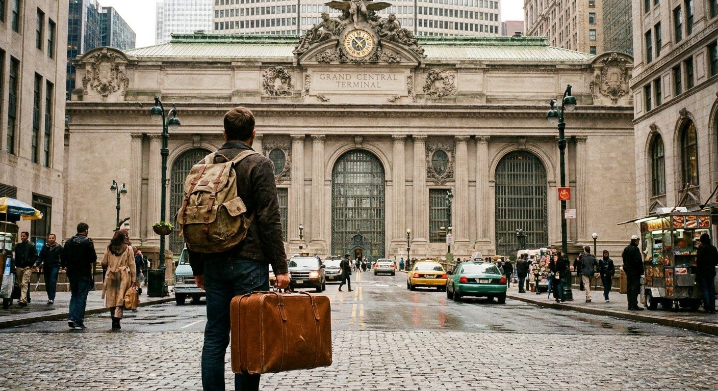
Step 3: Choose your walking spine
Every town has a spine that makes walking feel effortless. Your job is to identify it from the station ZIP code and ride it like a gentle current. Look for one of these:
Main street spine
Classic small-town move. From the station, find the street with the highest concentration of cafés and local shops, then plan your day as a slow drift up and down it. If you want to turn that into a purposeful theme, this pairs nicely: Map a Support-Local Shopping Spree by ZIP Code.
Waterfront spine
Rivers and bays make for easy navigation and scenic breaks. A waterfront walk often connects parks, marinas, and a cluster of lunch spots. Bonus: it is hard to get truly lost when you can keep the water on one side.
Arts and culture spine
In some towns the station sits close to theaters, galleries, or a museum row. If the ZIP code includes an arts district, you can build your whole day around it: Using ZIP Code Data to Find Arts and Culture Districts.
Campus spine
College towns are sneaky-good for car-free days because sidewalks, coffee, bookstores, and cheap eats are baked in. Just remember: game days and move-in weekends change everything.
My go-to station day trip plan
Here’s the structure I use when I do not want to overthink it. Swap in your town’s version of each stop.
10:00 AM: Arrive and reset
- Use the station restroom immediately, even if you “don’t really have to.” Transit days reward simple decisions.
- Buy water or a snack if you see it. Convenience is part of the fun.
- Screenshot your return ticket and departure platform details.
10:30 AM: Coffee and a “local tells” breakfast
My litmus test is a place where locals are ordering without looking at the menu. If you want to turn this into a mini food mission, use the same ZIP-first approach here: Find Hidden Gem Restaurants With a ZIP Code.
11:30 AM: One signature walkable stop
Pick one thing that feels specific to the town, not generic. That could be:
- a historic courthouse square
- a harbor promenade
- a small museum with a weirdly passionate volunteer guide
- a local market hall
Keep it to one “big” stop early so you do not feel like you are falling behind all day.
1:00 PM: Lunch near the spine
I aim for lunch that is easy to eat and easy to love: counter-service sandwiches, noodles, pizza by the slice, tacos. When you are walking all day, you want delicious and unfussy.
2:00 PM: Park reset (shoes off if possible)
This is where you protect your energy. Sit for 20 minutes. People-watch. Check your step count. If you are traveling with kids, pick a playground stop using a ZIP-based search strategy: Kid-Friendly Parks by ZIP Code.
3:00 PM: The wander hour
My favorite hour of any day trip is the unscheduled one. Walk into the bookstore. Step into the antique shop. Follow the smell of baked bread. If you want a gentle structure, map a short walking loop that starts and ends near the station area: Map a Self-Guided Walking Tour With ZIP Code Boundaries.
4:30 PM: Treat stop
Ice cream, pastries, bubble tea, whatever the town does well. This is also a smart moment to check live departure boards and adjust your pace.
5:30 PM: Early dinner close to the station
Stay close. You want a relaxed meal where you can pay, leave, and still have time to stroll back without stress.
7:00 PM: Back to the station early
My rule: be inside the station area with enough time to handle a line, a platform change, or a slow elevator. Being early feels like cheating in the best way.
What I map from the station ZIP
When I am building a car-free day, I map these categories first. It keeps the day smooth and saves my feet.
- Two restrooms: the station and one backup (museum, library, big café)
- One weather shelter: a museum, indoor market, or café cluster for surprise rain
- One low-effort green space: closest park with benches and shade
- One quick dinner option: counter-service near the station
- One convenience stop: water, sunscreen, blister bandages if needed
Weather can make or break a walkable plan. Before you go, match the forecast to the micro-area you will actually be walking: Match Hyper-Local Weather to ZIP Codes.
Know before you go
This is the tiny checklist that prevents the classic “we missed it by two minutes” ending.
- Last train time: confirm the final return option before you commit to a long afternoon loop.
- Service alerts: scan for weekend track work, bus bridges, or canceled departures.
- Ticket rules: check whether you need to activate a mobile ticket before boarding.
- Platform plan: know if there are multiple entrances and which side connects to your walking spine.
- Plan B home: identify a backup option (later train from a nearby station, local bus, or ride-hail) in case the schedule goes sideways.
Simple safety and comfort tips
Car-free days feel best when you keep the basics tight.
- Start in daylight if you can. Your first trip is smoother when you can see the town clearly, literally and socially.
- Pick well-lit routes at night. If you are walking back for an evening train, choose brighter streets over “shortcuts.”
- Keep your awareness around stations. Stations are busy, which can be great, but it also means distractions. Zip your bag, keep your phone up only when you need it, and move with the flow.
- Trust the comfort test. If a block feels wrong, reroute. A slightly longer path that feels calm is the correct one.
- Have a meeting point. If you split up, pick one obvious place to reconnect, like the station’s main hall or a landmark café.
Transit realities to plan for
Stations have multiple front doors
Some stations have an entrance that looks like the obvious one, but the crosswalks and sidewalks are better from a side entrance. When you arrive, take 30 seconds to choose the exit that connects to your walking spine.
Weekend schedules can be a different universe
Transit day trips are easiest when you build the day around your return train time, not the other way around. If service is infrequent, plan dinner earlier.
Accessibility varies block by block
A town can be “walkable” but still be tough with mobility needs if sidewalks are narrow, curb cuts are missing, or construction is heavy. If you need step-free routes, map them in advance and consider ride-hail as a backup for one segment.
Food hours are not universal
Smaller towns can have early kitchen close times, especially on Sundays. If dinner is non-negotiable, check hours before you commit to a long afternoon loop.
If the station area is not charming
Sometimes the station ZIP covers rail yards, office parks, or a downtown edge that is not where you want to spend your day. You can still use it as your car-free launch point:
- Use the station ZIP as “Start and Finish,” but shift your walking spine to the nearest lively district and make that your midday core.
- Plan one short transit hop (local bus, light rail, subway) to the more walkable neighborhood, then do the rest on foot.
- Pick a smaller loop. A 2 to 3 mile loop can be perfect if the area is dense, hot, hilly, or crowded.
If you want more ideas for building days that go beyond a single boundary line, this is a good next read: Plan a Local Day Out Beyond a ZIP Code.
Car-free packing list
- Comfortable shoes you have already worn for at least a couple miles
- Portable phone charger (maps plus photos drain batteries fast)
- Refillable water bottle
- Small snack for platform waits
- Layer that handles wind on platforms
- Blister care (a single bandage can save your whole mood)
- A tiny notebook if you like collecting “next time” pins the old-school way
FAQ
How far is realistic to walk on a transit day trip?
For many people, 4 to 7 miles total across a full day feels fun rather than punishing, especially with café breaks. If your group is mixed, plan the loop so you can shorten it without losing the best parts.
What if it rains?
Build an indoor bridge into your plan: museum, indoor market, library, or a cluster of cafés. Keep your loop flexible so you can swap the park hour with an indoor hour.
How do I choose between two stations in the same town?
Pick the station whose ZIP sits closest to the walking spine you want (main street, waterfront, arts district). If one station is clearly closer to food and parks, that is usually the better day-trip station even if it has fewer amenities.
Can I do this with buses instead of trains?
Absolutely. The method is the same: use the transit hub ZIP as your anchor, then map a loop that brings you back for an easy ride home.
One last Leah tip
If you are new to car-free day trips, start in a town where you can see the station from the main street, or at least reach it in a straight shot. Confidence compounds fast. After one easy win, you will start eyeing every station on the map like it is a little doorway to a new Saturday.
For more ways to build these micro-trips, browse the full hub: Town Guides.
If you ever want to tell me what station you are starting from, I am easy to find here: Contact.